The Earth observation community gathered at the European Geosciences Union (EGU) general assembly to present original and inspiring applications of satellite data.
The Earth observation community gathered at the European Geosciences Union (EGU) general assembly to present original and inspiring applications of satellite data.
EGU is an annual, cornerstone conference for remote sensing that brings together thousands of scientists and remote sensing experts from a broad range of disciplines, to discuss the latest developments in areas such as climate science, agriculture and atmospheric science. This year the conference took place from 15 to 19 April in Vienna, Austria.
European Geosciences Union is this year’s keystone conference in remote sensing science
Copyright: EGU
Recent advances in atmospheric monitoring
In an era when the impacts of anthropogenic pollution are ever more apparent, EGU hosted multiple oral and poster sessions focusing on the value of value of Earth Observation (EO) data in atmospheric science.
Since 2018, the TROPOspheric Monitoring Instrument (TROPOMI) on-board the Copernicus Sentinel-5 Precurser satellite has been helping map pollutants, such as nitrogen dioxide, methane, carbon dioxide and aerosols.
Novel machine learning methods are recently being harnessed to extend the value of TROPOMI measurements. At EGU, a new deep learning model for the prediction of tropospheric nitrogen dioxide profiles was showcased, with validated results for different seasons and geographical regions.
Other sessions presented how TROPOMI data are used to quantify seasonal nitrogen emissions in urban areas, and even track nitrogen dioxide plumes for multiple individual ships in the Mediterranean Sea.
ESA’s Sentinel-5P Mission Manager, Claus Zehner, co-convened oral presentations under the umbrella “Geo-Ring for Air Quality”, where the synergistic value of data sources, from TROPOMI, the Korean Geostationary Environment Monitoring Spectrometer (GEMS), and the Orbiting Carbon Observatory-3 (OCO-3), were highlighted.
Land cover changes linked to sediment connectivity
Sediment production and movement on land are strongly linked to land coverage types, so that understanding land cover is a fundamental part of surface dynamics research.
Marina Zingaro from the University of Bari, Italy, at an EGU poster presentation showed how Copernicus Sentinel-2 data were used to compute the Normalised Difference Vegetation Index (NDVI). Her research showed how this index could be used in sediment connectivity analysis, when it highlighted changes in land cover over short time periods, including post-wildfire, in three different hydrographic basins in Europe.
Marina Zingaro from the University of Bari, Italy, presented at a poster at EGU.
Copyright: Zingaro
The research was performed in the framework of the GEORES project - Geospatial application to support the improvement of environmental sustainability and resilience to climate change in urban areas - funded by the Italian Space Agency (ASI).
Discover machine learning trends for radar data
Estimating snow depth at large spatial and frequent temporal scales using Synthetic Aperture Radar (SAR) measurements has its limitations. At EGU scientists demonstrated how to overcome this issue, using an innovative machine learning application to derive accurate snow depths in the European Alps using Sentinel-1 data.
High-resolution optical data from Copernicus Sentinel-2 is not excluded from this machine learning gravy train. Another session showcased a novel machine learning method to generate high spatiotemporal resolution inundation maps of wetlands. The method combines SAR and optical data from Copernicus Sentinel-1 and Sentinel-2, supplemented with commercial PlanetScope data.
Altimetry radar to track coastal lagoons
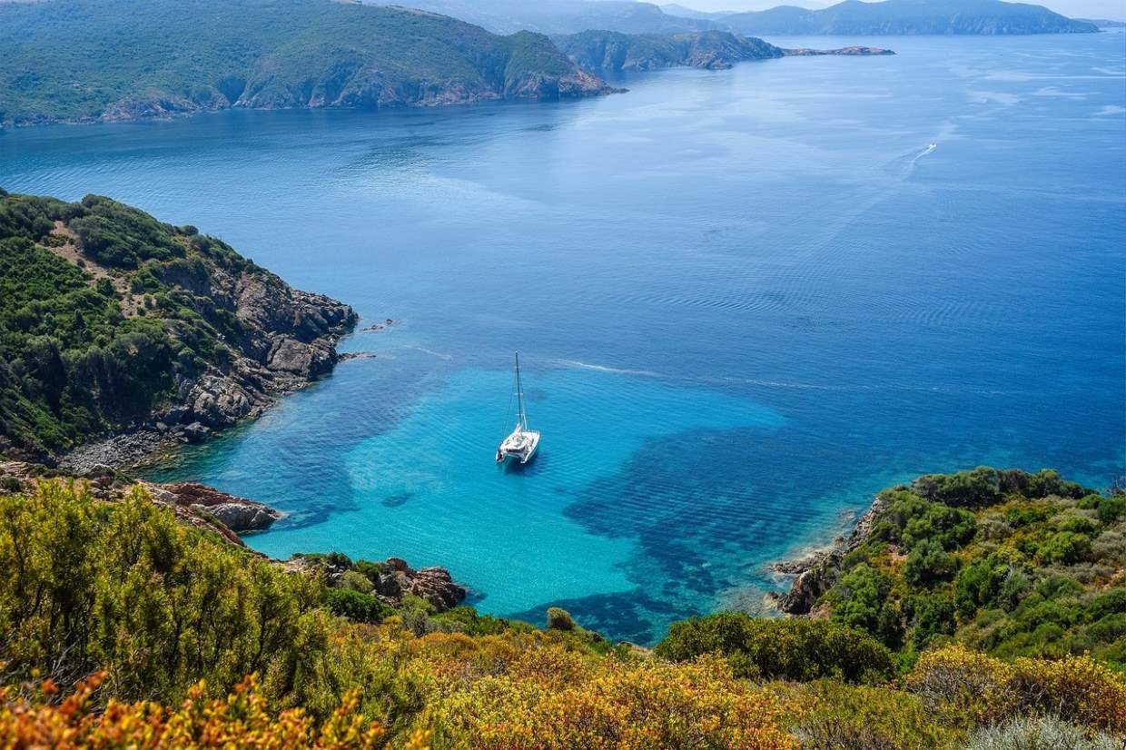
The value of Copernicus Sentinel-3 data in monitoring fast changing coastal regions was also in focus. Earth's approximately 32,000 lagoons, spanning 13% of the world's coastline are the motivation for one research group. At EGU they presented a new method using high resolution radar data from Sentinel-3 to examine the Venice and Marano-Grado coastal lagoons. Another session revealed work to combine machine learning, in situ monitoring and Sentinel-3 data to evaluate the ecological quality of Italian coastal waters.
Earth's approximately 32,000 lagoons, motivated researchers to use Copernicus Sentinel-3 data.
Copyright: Pixabay
