The SENTINEL-2 mission requirements is to ensure a high revisit frequency and high resolution imagery to support Copernicus programmes. The SENTINEL-2 provides data feeding services for applications in the Copernicus priority areas of land monitoring, emergency management and security:
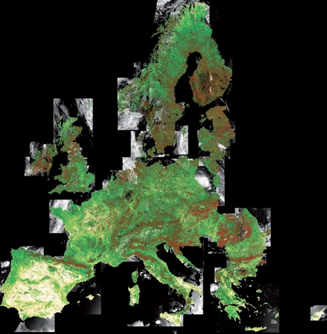
The Copernicus land monitoring service became operational in 2012 and provides geographical information on land cover and on variables related to such topics as vegetation state and the water cycle. Additionally, it supports a variety of applications including spatial planning, forest management, water management, agriculture and food security.
The Copernicus land monitoring service comprises:
- A Pan-European component, coordinated by the European Environment Agency.
- A global component coordinated by the European Commission DG Joint Research Centre (JRC).
- A local component coordinated by the European Environment Agency.
The Copernicus Marine Environment Monitoring Service (CMEMS) provides regular and systematic reference information on the physical state, variability and dynamics of the ocean and marine ecosystems of both the oceans worldwide and the European seas.
Applications domains supported by CMEMS include marine safety, marine resources, coastal and marine environment, weather, seasonal forecasting and climate.
The Copernicus emergency management service provides accurate and timely geospatial information derived from satellite remote sensing to all organisations and entities involved in the management of natural disasters, man-made emergency situations and humanitarian crises. Where available, this data is complimented by in situ or open data sources. The mapping component of the Copernicus Emergency Management Service has a worldwide coverage and provides maps based on satellite imagery. The service started operations on 1 April 2012 with funding provided by the European Commission.
The Copernicus services for Security applications aim to support the related European Union policies in the following priority areas:
- border surveillance
- maritime surveillance
- support to EU external action.
At present, the three priority areas are addressed by a series of EU-funded projects.
Copernicus Thematic Areas
Further information on Copernicus thematic areas can be found in the Thematic Areas section.