The SLSTR product types are divided into six main categories that are disseminated to users (note that the Level-2 WCT product is only disseminated to members of the cal-val team and not to all users).
- One product, labelled as Level-1B is output by SLSTR Level-1 processing. The Level-1B product provides radiances and brightness temperatures for each pixel in a regular image grid for each view and SLSTR channel. In addition, it also contains annotations data associated with each image pixels.
- Five products labelled as Level-2 are output by the SLSTR Level-2 processing:
- Level-2 WCT product (not disseminated to all users) providing the sea surface temperature for single and dual view, for two or three channels,
- Level-2 WST product providing L2P sea surface temperature, following the GHRSST specifications,
- Level-2 LST products providing land surface temperature,
- Level-2 FRP products providing global (over land and water) fire radiative power,
- Level-2 AOD products providing global (over land and water) aerosol optical depth.
For further information about SLSTR products, see the Technical Guide Level-1 products or Level-2 products.
There are different SLSTR data product types depending on delivery time to users (timeliness) and the available consolidated auxiliary or ancillary data:
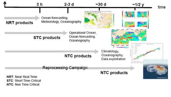
- The Near Real Time (NRT) data products should be delivered less than 3 hours after data acquisition. This product type is mainly used for marine meteorology and ocean-atmosphere gas transfer studies.
- The Non-Time Critical (NTC) data products are typically delivered less than 1 month after data acquisition. This additional delay allows consolidation of some auxiliary or ancillary data (e.g. precise orbit data) and the products are mainly used for geophysical studies and operational oceanography.
As consequences, SLSTR L1/L2 scenes can be found twice, processed in NRT and NTC, with the suffix "NR" or "NT" in their filename.
The differences between NRT and NTC products are due to auxiliary data (consolidated Orbit files used in NTC processing; Forecast ECMWF meteorological dataset is used in NRT processing whereas the 'analysis' ECMWF data are used for NTC processing), but also to some processing conditions and choices:
- NRT and NTC products may have different orbit numbers because the start of the orbit is defined near the pole for NRT data, but at the ascending node crossing (ANX) for NTC data.
- The reference ANX can be different for NRT/NTC products because it is always the one preceding the granule for NRT products, whereas for NTC products, the ANX preceding the start of the orbit is used. The Y coordinates and scan re-indexation are calculated with respect to the reference ANX, and so possible shifts can be observed between NRT and NTC products if a different reference is used. Similarly, as the regridding is based on Y coordinates, the resulting L1 image radiometric or L2 measurements data can show small deviations between both products.
- The VIS/SWIR calibration is calculated from observations of the VISCAL source only once per orbit. The calibration is applied using the previous orbit for NRT products, and using the current orbit for NTC products.
In spite of the differences mentioned above, the absolute geolocation of each measurement position (as contained in the geodetic and cartesian files) will be the same in both products.
In theory, NTC products should be better than the NRT products as they use the consolidated orbit information and VIS/SWIR calibration from the current orbit. Therefore, the SLSTR Expert Support Laboratory team advises the majority of non-operational users to use the NTC products.