A series of comprehensive in-situ inland water height monitoring campaigns are reinforcing confidence in data delivered by Copernicus Sentinel-3. To collect the water height measurements, researchers used boats, drones and small fixed stations equipped with lidar, acoustic radar and imaging instruments.
These campaigns make up the hydrology component of the St3TART (Sentinel-3 Topography mission Assessment through Reference Techniques) project, an initiative led by NOVELTIS with a consortium of 17 partners, funded by ESA and the EU. The aims and methods of this project component are summarised in this video.
The Sentinel-3 mission of the European Copernicus programme provides extremely valuable high-resolution data on surface elevation over inland waters, thanks to the satellites’ altimetry instruments.
The St3TART project is setting up Fiducial Reference Measurements (FRM) for the mission’s operational calibration and validation (cal/val).
‘Fiducial’ means to be accepted as a fixed basis of reference or comparison. FRM are a suite of independent, fully characterised, and traceable ground measurements that follow the guidelines outlined by the GEO/CEOS Quality Assurance framework for Earth Observation (QA4EO).
While it might sound simple, cal/val of satellite altimetry data requires consideration of many site-specific factors. For example, rivers change shape over time and have weather-dependent dynamics.
Read on to discover how the St3TART team uses controlled indoor tests, convenient canals and cal/val ‘super-sites’ to ensure that Copernicus Sentinel-3 data can be used with confidence.
Controlled tests in a wind-wave tunnel
Before going out into the field, it is important to know how surface waves and wind conditions affect altimetry measurements. This was tested in the large wind-wave tunnel of Luminy (LASIF-IOA) in Marseille, a 40-metre-long tank is equipped with a programmable wave generation paddle and a fan that blows air at speeds up to 15 m/s.
The St3TART team mounted an acoustic radar ‘Cyclopée’ system of DT-INSU (CNRS) and vorteX.io ‘micro-stations’ equipped with a lidar sensor and a nadir camera above the water tank. Regardless of the wind and wave conditions, the measurement stations were found to have a margin of error of just one centimetre.
Convenient canals for optimal calibration
Canals are ideal for satellite altimetry cal/val activities. They have a controlled water level, few topography variations and a low surface roughness. They are also easy to equip with measurement stations, of which one is often enough.
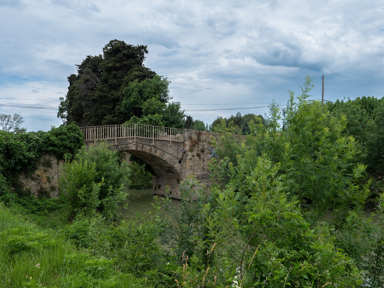
A recent measurement campaign of the St3TART project focussed on the Canal du Midi, near the town of Trèbes (France). This little canal lies perpendicular to the Copernicus Sentinel-3A track, making it a perfect site to evaluate the best possible performances that can be achieved by the satellite.
A measurement station attached to a canal bridge
A vorteX.io micro-station was installed under the satellite track on a bridge crossing the canal, set up to measure at the exact time of the Sentinel-3 overflight.
Flying more than 800 km above our heads, Copernicus Sentinel-3 was found to provide remarkably accurate measurements, with a root mean square error of only 5 cm for the latest Sentinel-3 hydrology data products.
Calibration and validation super-sites
Some bodies of water are more suited for FRM measurements than others because they repeatedly cross paths with Copernicus Sentinel-3 ground tracks. The St3TART Hydrology team identified such cal/val ‘super-sites’ along the rivers Garonne (France), Rhine (France/Germany), Po (Italy) and Tiber (Italy).
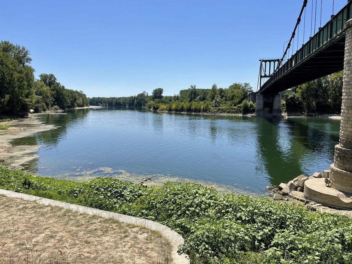
A good place for measurements on the Garonne River
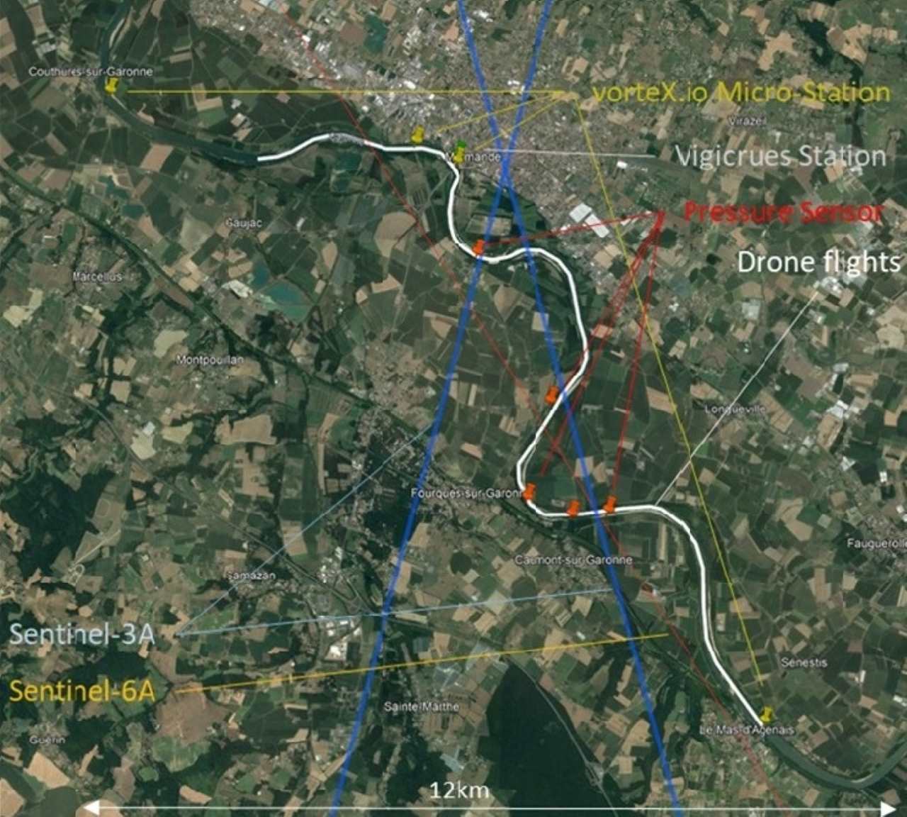
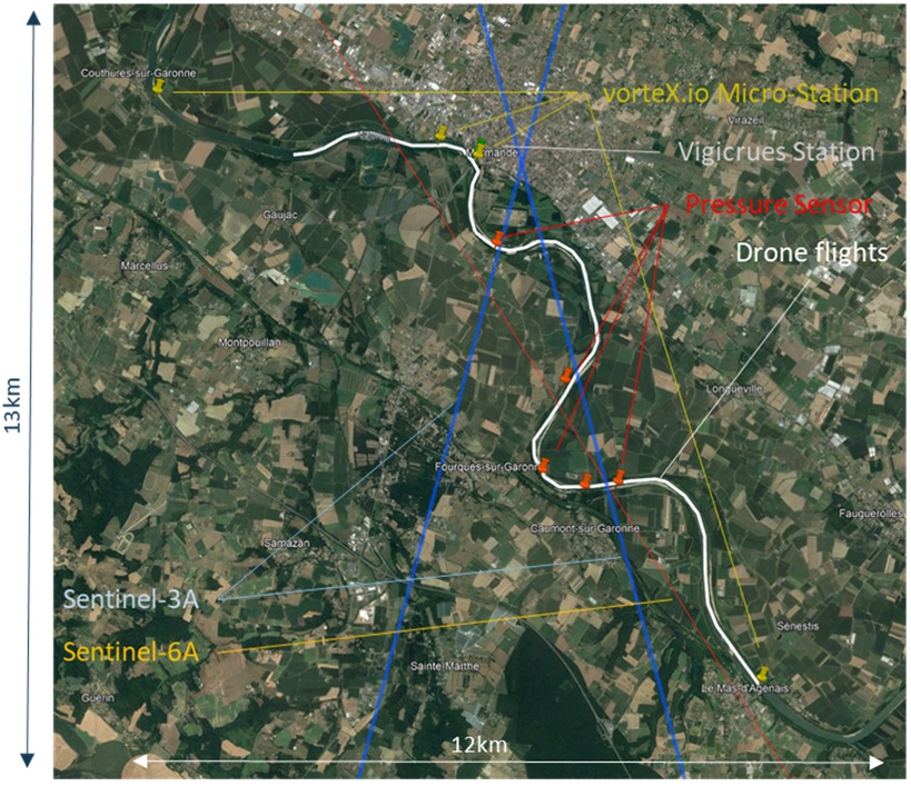
The Garonne River super-site is overflown by two different Copernicus Sentinel-3A ground tracks as well as a Sentinel-6A track, allowing for multi-mission cross-comparisons. Where the river intersects the ground track of Copernicus Sentinel-3A, the team installed vorteX.io micro-stations and water pressure sensors, as well as making use of an existing Vigicrues station (part of the French national flood-warning service).
Continuous measurements from the in-situ stations are complemented by drone flights over a section of about 20 km along the river. Equipped with a lidar for altimetry and a camera to image the surroundings, the drones provide crucial information on the river slope and local specificities, such as waterfalls and pools.
The first two drone flights were on 8 February and 28 June 2022, corresponding to periods of medium and low water levels, respectively. A third campaign is planned to establish the river characteristics at higher water levels. This ensures a good sampling of different water levels and flow conditions.
Using a combination of controlled tests, one-off field campaigns and permanent ground stations at strategic locations, the St3TART team has ensured Copernicus Sentinel-3 satellite data is optimally calibrated and validated for years to come.
Map of Garonne River cal/val super-site layout
About the Copernicus Sentinels
The Copernicus Sentinels are a fleet of dedicated EU-owned satellites, designed to deliver the wealth of data and imagery that are central to the European Union's Copernicus environmental programme.
The European Commission leads and coordinates this programme, to improve the management of the environment, safeguarding lives every day. ESA oversees the space component, responsible for developing the family of Copernicus Sentinel satellites on behalf of the European Union and ensuring the flow of data for the Copernicus services. The operations of the Copernicus Sentinels have been entrusted to ESA and EUMETSAT.
Did you know that?
Earth observation data from the Copernicus Sentinel satellites are fed into the Copernicus Services. First launched in 2012 with the Land Monitoring and Emergency Management services, these services provide free and open support, in six different thematic areas.
The Copernicus Land Monitoring Service (CLMS) provides geographical information on land cover and its changes, land use, vegetation state, water cycle and Earth's surface energy variables, to a broad range of users in Europe and across the World in the field of environmental terrestrial applications.


