An expansion of a global data series that enables scientists to explore the impact of climate change on the world’s lakes has been released. The variables that make up the dataset were generated using data delivered by numerous Earth observation missions, including Sentinel-1, Sentinel-2 and Sentinel-3 of the European Union’s Copernicus Programme.
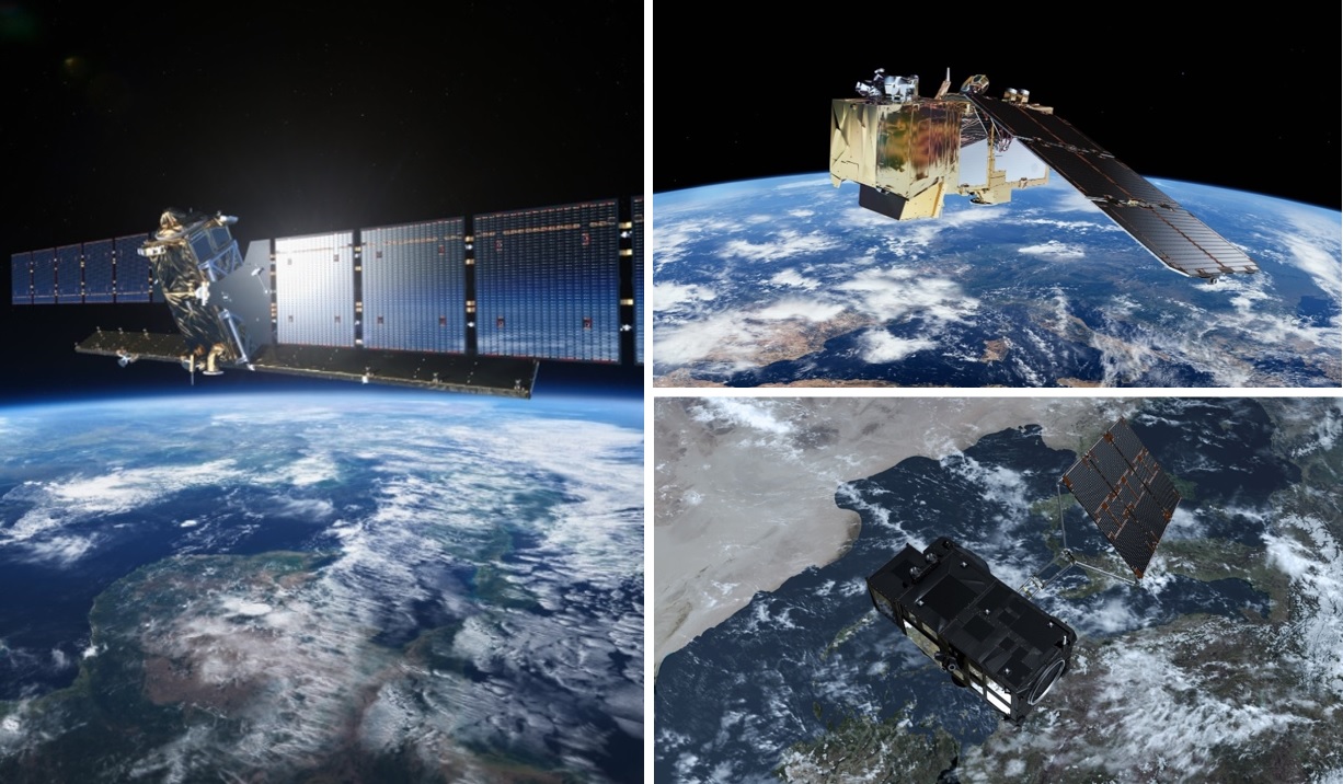
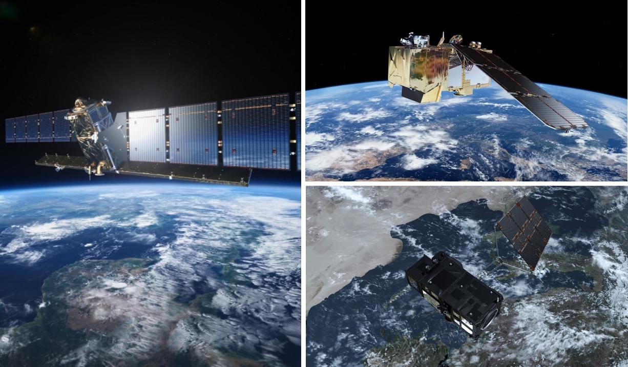
Copernicus Sentinel-1, Sentinel-2 and Sentinel-3 satellites
Development of the new climate data record – which covers some 2000 lakes across the world – is coordinated by ESA’s Climate Change Initiative (CCI), a programme that transforms satellite data into robust, long-term, global datasets for key indicators of climate change, known as Essential Climate Variables (ECVs). Lakes have huge economic and environmental significance, supplying freshwater for human consumption, agriculture, and the energy sector, as well as hosting thriving ecosystems that support a diverse range of species. But these inland water bodies are heavily impacted by the evolving environment within their contributing basins, as well as the wider climate. In addition to acting as sentinels for climate change, lakes play an important role in local and global climate regulation, by acting as heat sinks in the warmer summer months and heat sources during the winter, for instance. As a result, understanding the behaviour of lakes is essential to facilitate sustainable water management, as well as climate change monitoring and mitigation efforts.
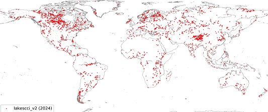
Through the CCI’s lakes project, remote sensing experts are continuously improving a dataset that includes five key variables related to inland water bodies. The newly released package details 2024 lakes across the world – a big increase on the 250 lakes included in the previous dataset – with the variables being available for the period of 1992-2020. The first variable, lake water level, is vital to understanding the difference between water inputs – such as run off and precipitation – and water loss, including evaporation. This was developed with the help of the Synthetic Aperture Radar Altimeter (SRAL) instrument of the Copernicus Sentinel-3 satellites. SRAL bounces radar pulses off the surface of water bodies, enabling remote sensing experts to generate high-resolution, global information on the water level of lakes. Another important variable – known as lake water extent – reveals the area of Earth’s surface that is covered by inland water bodies, helping scientists to estimate how lakes shrink and expand in response to the changing climate. This was generated by imagery delivered by the multispectral instrument (MSI) of Copernicus Sentinel-2 and radar data from the C-band synthetic-aperture radar (SAR) sensor hosted by Copernicus Sentinel-1. In some cases, MSI imagery was used to map the outline of lakes so that lake water extent could be estimated. In others – for example, when heavy cloud cover rendered the use of the optical sensors impossible – SAR data were used to delineate lake area. A further key variable – called water-leaving reflectance – was produced using Copernicus Sentinel-3’s ocean land colour instrument (OLCI). The OLCI retrieves the spectral distribution of up-welling radiance just above the water’s surface, which can then be used to estimate a number of geophysical parameters, such as seasonal phytoplankton biomass fluctuations. In addition, the dataset includes information on water surface temperature and lake ice cover.
A dataset of 2024 lakes across the world
The newly released dataset will help to ensure that satellite-derived information continues to make strong contributions to global assessments of climate change. A global analysis of the effect of climate on lakes [1] – which drew on data from the CCI’s lakes project – was recently included in the UN’s Intergovernmental Panel on Climate Change (IPCC) Working Group 2 report on Impact, Adaptation and Vulnerability. In addition, newly released work has compounded the link between severe lake heatwaves and greenhouse gas emissions [2]. Clement Albergel, ESA Technical Officer for the CCI’s lakes project, says, “Satellite observations allow for a regional to global assessment of lake responses to a changing climate. The long-term and consistent records developed by the CCI, harnessing ESA Earth observation archives – generated over the last 40 years - and combining them with data from both third party and current missions including the Copernicus Sentinel missions, provide the empirical record to support climate science and inform effective climate action to address and build resilience to the negative consequences of change.” The CCI’s lakes project is led by a consortium with representatives from eight member states including: CLS, France; LEGOS, France; University of Reading, UK; the National Research Council of Italy; H2O Geomatics Inc, Canada; Brockman Consult GmbH, Germany; the Plymouth Marine Laboratory, UK; GeoEcoMar, Romania; SERTIT, France; TRE-Altamira, Spain; NORCE, Norway; University of Stirling, UK; Eola, France.
About the Copernicus Sentinels
The Copernicus Sentinels are a fleet of dedicated EU-owned satellites, designed to deliver the wealth of data and imagery that are central to the European Union's Copernicus environmental programme. The European Commission leads and coordinates this programme, to improve the management of the environment, safeguarding lives every day. ESA is in charge of the space component, responsible for developing the family of Copernicus Sentinel satellites on behalf of the European Union and ensuring the flow of data for the Copernicus services, while the operations of the Copernicus Sentinels have been entrusted to ESA and EUMETSAT.
Did you know that?
Earth observation data from the Copernicus Sentinel satellites are fed into the Copernicus Services. First launched in 2012 with the Land Monitoring and Emergency Management services, these services provide free and open support, in six different thematic areas.
The Copernicus Climate Change Service (C3S) supports society by providing authoritative information about the past, present and future climate in Europe and the rest of the World.
In addition, the Copernicus Land Monitoring Service (CLMS) provides geographical information on land cover and its changes, land use, vegetation state, water cycle and Earth's surface energy variables, to a broad range of users in Europe and across the World in the field of environmental terrestrial applications.
References
[1] Woolway, R.I., Jennings, E., Shatwell, T. et al. Lake heatwaves under climate change. Nature 589, 402–407 (2021). https://doi.org/10.1038/s41586-020-03119-1
[2] R. Iestyn Woolway, Clément Albergel, Thomas L. Frölicher, Marjorie Perroud. Severe Lake Heatwaves Attributable to Human-Induced Global Warming. Geophysical Research Letters (49); 24 February 2022. https://doi.org/10.1029/2021GL097031.


