The Copernicus Sentinel-3 Surface Topography Mission (STM) provides extremely valuable surface elevation information over inland waters, sea ice and land ice, thanks to its orbit that covers high-latitude polar regions, and to its SAR altimeter, which retrieves high-resolution along-track elevation measurements. To ensure that these measurements can be used with confidence, adequate validation of the geophysical retrieval methods, processing algorithms and corrections must be performed, considering independent observations as Reference Measurements.
St3TART (Sentinel-3 Topography mission Assessment through Reference Techniques) is an EU and ESA funded project led by NOVELTIS with a consortium of 17 European partners (CNES, DTU, NPI, vorteX.io, LEGOS, Ocean Next, CLS, LOCEAN, IGE, SERTIT, GIS, CNR-IRPI, NPL, DT/INSU, IRD, M2C, SYRTE). This project aims to generalise the concept of Fiducial Reference Measurements (FRM) for validation of the Copernicus Sentinel-3 STM over inland waters, sea ice and land ice.
To that end, the St3TART project will not only collect existing data and measure new observations during field campaigns, but it will also ensure that these observations meet the criteria of FRM standards and can be used in an operational way for the validation of the Sentinel-3 Land topography mission.
The FRM data will be made available to all users through an FRM Data Hub platform. Lastly, the SCalSIT tool will help identify relevant Copernicus Sentinel-3 STM validation sites over inland waters.
More information about St3TART can be found on the project website: https://sentinel3-st3tart.noveltis.fr/

The Copernicus Sentinel-3 Surface Topography Mission (STM) provides extremely valuable surface elevation information over inland waters, sea ice and land ice, thanks to its orbit that covers high-latitude polar regions, and to its SAR altimeter, which retrieves high-resolution along-track elevation measurements. To ensure that these measurements can be used with confidence, adequate validation of the geophysical retrieval methods, processing algorithms and corrections must be performed, considering independent observations as Reference Measurements.
St3TART (Sentinel-3 Topography mission Assessment through Reference Techniques) is an EU and ESA funded project led by NOVELTIS with a consortium of 17 European partners (CNES, DTU, NPI, vorteX.io, LEGOS, Ocean Next, CLS, LOCEAN, IGE, SERTIT, GIS, CNR-IRPI, NPL, DT/INSU, IRD, M2C, SYRTE). This project aims to generalise the concept of Fiducial Reference Measurements (FRM) for validation of the Copernicus Sentinel-3 STM over inland waters, sea ice and land ice.

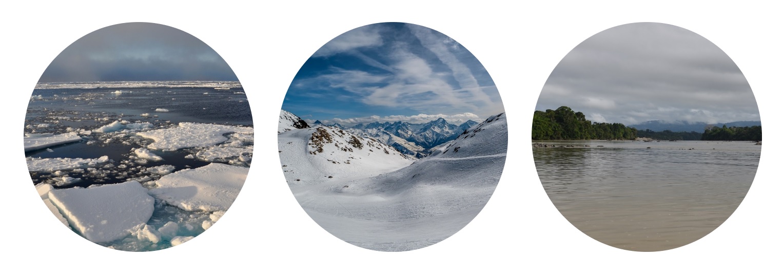
Sea Ice, Land Ice and Hydrology (© PA Garambois, INRAE)
To that end, the St3TART project will not only collect existing data and measure new observations during field campaigns, but it will also ensure that these observations meet the criteria of FRM standards and can be used in an operational way for the validation of the Sentinel-3 Land topography mission.
The FRM data will be made available to all users through an FRM Data Hub platform. Lastly, the SCalSIT tool will help identify relevant Copernicus Sentinel-3 STM validation sites over inland waters.
More information about St3TART can be found on the project website: https://sentinel3-st3tart.noveltis.fr/

