An innovative satellite data analysis method that delivers fresh insight into small water bodies in remote and complex landscapes has been developed as part of an ESA-backed project.
Named Tero Water Level, the technology can be applied to a range of altimetry missions – including Copernicus Sentinel-3 – and has already helped to reveal hundreds of small lakes obscured by Arctic ice that were previously undetectable from space.
Beyond the Arctic, it is able to monitor any region of the world, being particularly useful in areas with a lack of in-situ monitoring.
Satellite altimetry is a crucial asset for understanding the characteristics of oceans and icesheets, but it is less geared towards observing smaller water bodies, like rivers, streams and inland lakes.
River in a snowy landscape
Copyright:SMHI
Monitoring the surface heights of these water bodies is important for studying climate-related events, such as flooding, droughts and other hazards.
Key to achieving this objective is the mapping of lakes and rivers that can be checked regularly, known as ‘virtual stations’; advanced algorithms then process these data into information on water surface height and estimates of water storage.
However, this approach can be less effective in large remote regions with complex landscapes, due to constraints imposed by the sparsity of satellite datasets that cover these areas.
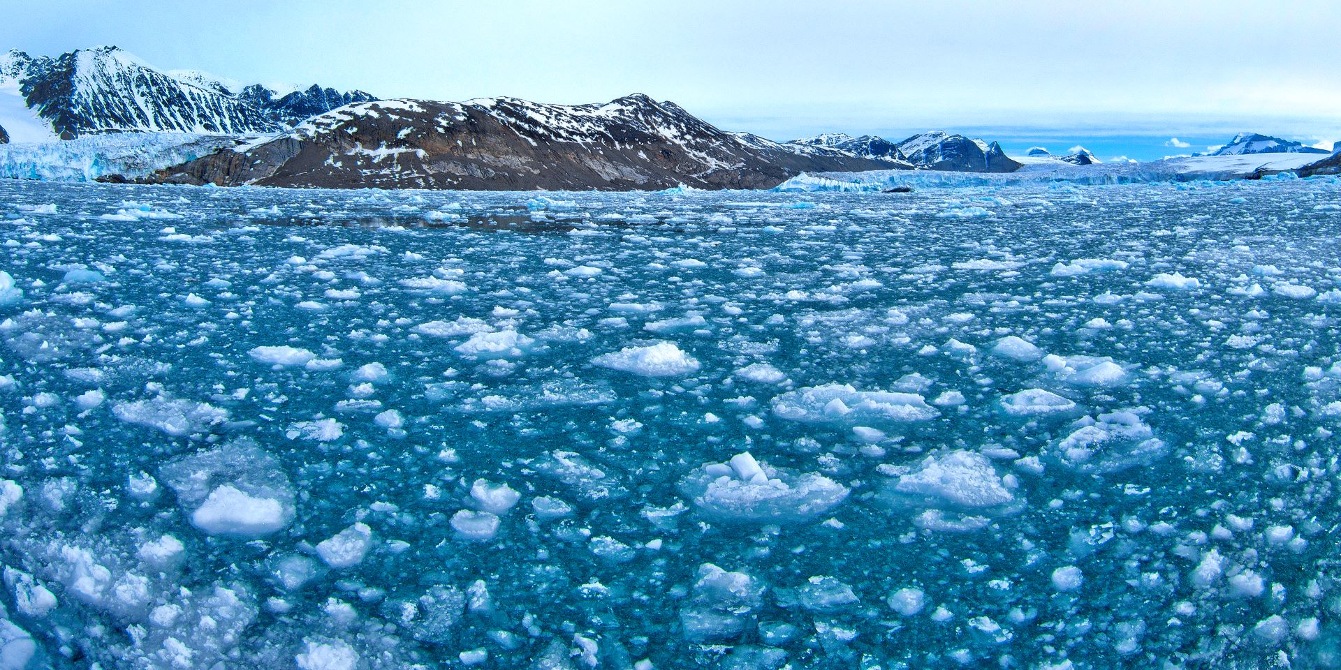
This is an especially challenging problem in the Arctic, where seasonally occurring sea ice often obscures water bodies, making it more difficult for satellite altimeters to identify them.
Tero Water Level addresses this issue by implementing a cutting-edge methodology that draws on satellite nominal track data to identify a vast amount of new virtual stations. It also uses Level-1 data to monitor water level with greater precision than ever before.
First, available data over remote areas are processed using a virtual station extractor algorithm called TeroVIR. This method can extract hundreds of new virtual stations from ongoing missions like Sentinel-3 of Europe’s Copernicus Earth observation programme, which has a whole host of altimetry applications, as well as Jason-1, -2 and -3, and the SARAL-AltiKa satellite.
These water bodies are typically not discernible to previously developed detection methods; for instance, in an analysis completed over the Eastern Russia Arctic, Tero Water Level identified some 1400 virtual stations, whereas three existing platforms named Dahiti, CGLOS, and Hydroweb, observed 3, 8, and 21 stations, respectively.
Sentinel-2 image captures the Lena river, Russia
Copyright:Contains modified Copernicus Sentinel data (2024)/ processed by Sentinel Hub
In a second step, a Level-1 spatio-temporal data processor – named TeroWAT – filters out the land contamination from the satellite data of the studied stations, by automatically selecting the portions that refer to the water surface.
After this, the water level is accurately processed using algorithms named ‘retrackers’, which provide more precise results than the baseline processors.
An analysis of Sentinel-3 data over eastern Russia, for instance, showed that water level estimates produced by Tero Water Level aligned excellently with in-situ water level measurements.
Tero Water Level was developed with the support of ESA as part of the Hydrology TEP platform project. It is the product of a collaboration between Barcelona-based firms Lobelia and isardSAT, and the Swedish Meteorological and Hydrological Institute (SMHI).
Tero Water Level used to estimate relative water level change in Batamai (Sakha Republic, Russia)
Copyright:Contains modified Copernicus Sentinel data (2018-2021)/ processed by Lobelia and isardSAT
To boost confidence in the technology, a project is currently underway that will use data from unoccupied aerial vehicles to validate water elevation measurements estimated by Tero Water Level in remote areas.
ESA and Copernicus are ensuring Copernicus Sentinel-3 continues to enable cutting-edge research by continuously improving the quality of data the mission delivers; last year, a full mission reprocessing was completed that resulted in enhanced data over sea ice and land ice. Data users can read the user handbook for more information on the reprocessing.
Another key activity, the ESA and EU-backed St3TART project, recently drew to a close after two years of impressive results. St3TART was successful in producing Fiducial Reference Measurements (FRM) for validation of the Copernicus Sentinel-3 Surface Topography Mission (STM) measurements of inland waters, land ice, and sea ice. Read more about the project online.
River flowing under the ice
Copyright:SMHI
About the Copernicus Sentinels
The Copernicus Sentinels are a fleet of dedicated EU-owned satellites, designed to deliver the wealth of data and imagery that are central to the European Union's Copernicus environmental programme.
The European Commission leads and coordinates this programme, to improve the management of the environment, safeguarding lives every day. ESA is in charge of the space component, responsible for developing the family of Copernicus Sentinel satellites on behalf of the European Union and ensuring the flow of data for the Copernicus services, while the operations of the Copernicus Sentinels have been entrusted to ESA and EUMETSAT.
Did you know that?
Earth observation data from the Copernicus Sentinel satellites are fed into the Copernicus Services. First launched in 2012 with the Land Monitoring and Emergency Management services, these services provide free and open support, in six different thematic areas.
The Copernicus Land Monitoring Service (CLMS) provides geographical information on land cover and its changes, land use, vegetation state, water cycle and Earth's surface energy variables to a broad range of users in Europe and across the World, in the field of environmental terrestrial applications.
It supports applications in a variety of domains such as spatial and urban planning, forest management, water management, agriculture and food security, nature conservation and restoration, rural development, ecosystem accounting and mitigation/adaptation to climate change.
Whereas the Copernicus Climate Change Service (C3S) supports society by providing authoritative information about the past, present and future climate in Europe and the rest of the World.
References:
Machefer, M.; Perpinyà-Vallès, M.; Escorihuela, M.J.; Gustafsson, D.; Romero, L. Challenges and Evolution of Water Level Monitoring towards a Comprehensive, World-Scale Coverage with Remote Sensing. Remote Sens. 2022, 14, 3513. https://doi.org/10.3390/rs14153513
