Title: Starling monitoring reports
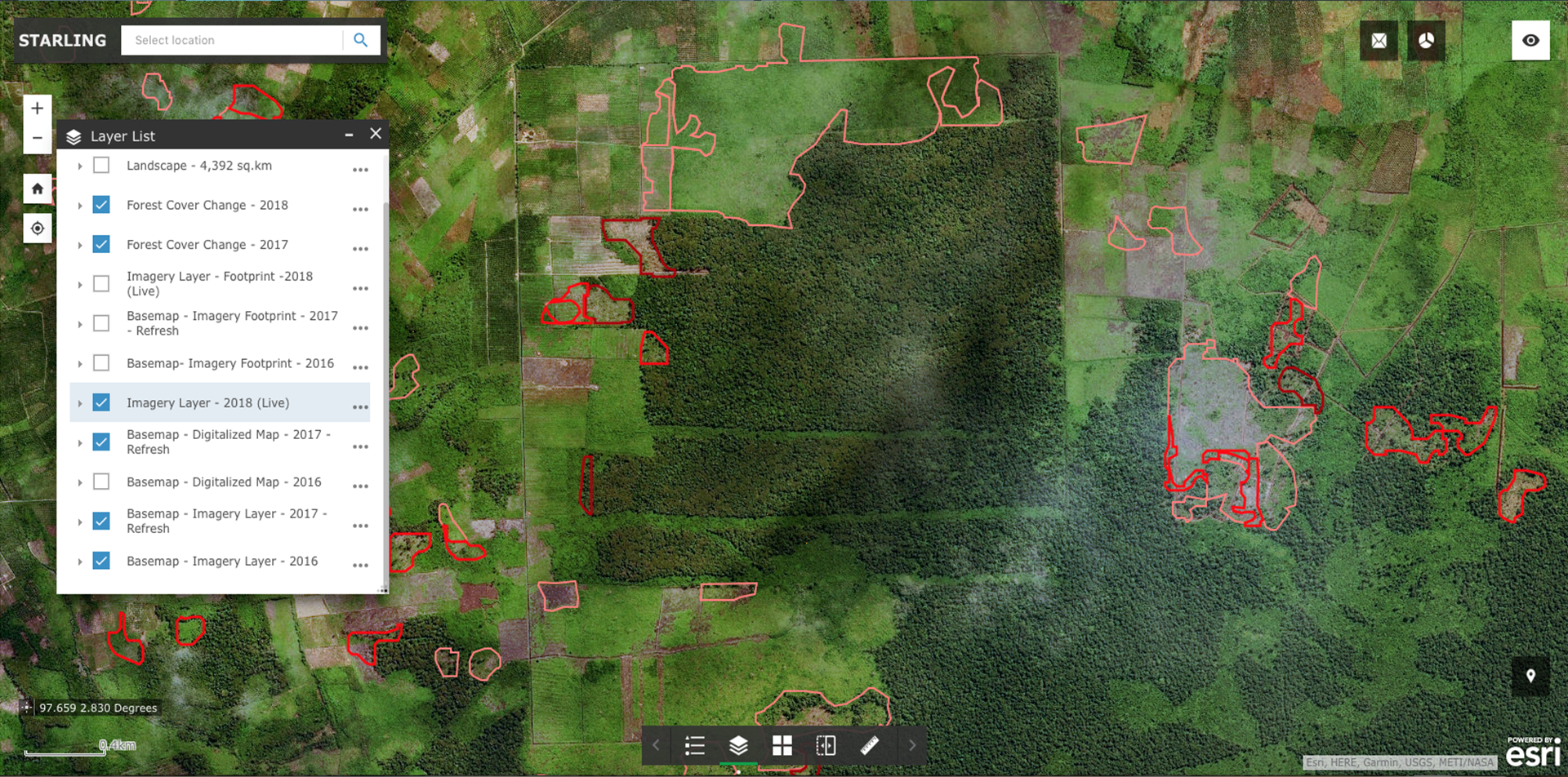
Description: Starling monitoring reports displayed on high-resolution imagery (SPOT 6) with identification of deforested areas from the last four quarterly reports (with a gradation of red according to time). It highlights the forest cover loss, indicating what drives this loss.
Copyright: Starling