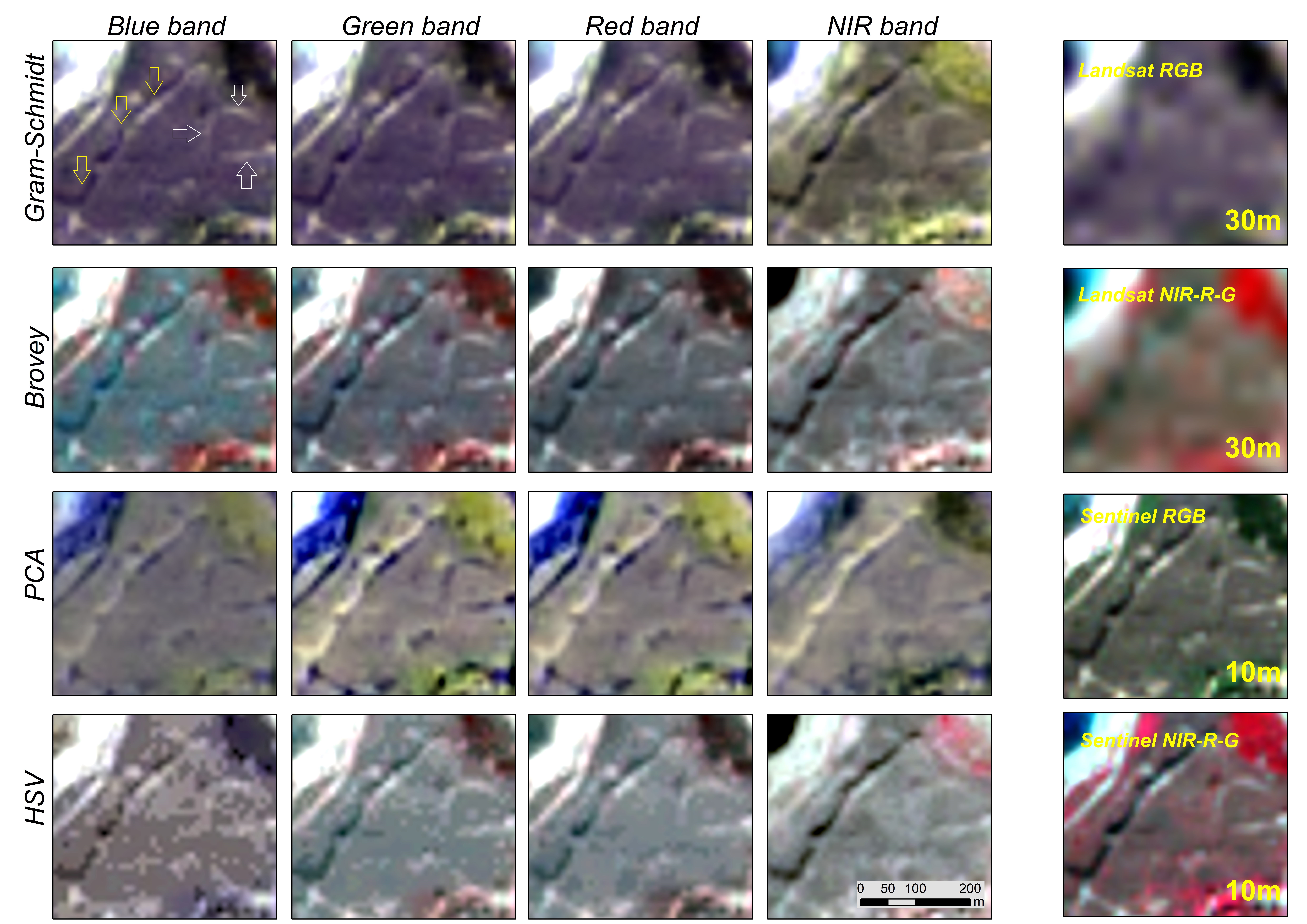
Title: Fusion results using pan-sharpening methods
Description: Fusion results of the archaeological site of "Nea Paphos" (closer look) using the four different pan-sharpening methods (Gram–Schmidt, Brovey, PCA, and HSV, on the first to fourth rows, respectively) based on the different Copernicus Sentinel-2 (10 m) spectral bands used as the panchromatic image (columns).
The last column indicates the original 30 m Landsat 8 and Copernicus Sentinel-2 10 m pixel resolution images at the red, green, and blue (RGB), and near-infrared green and blue (NIR-R-G) pseudo composites. The standing defensive wall is indicated with yellow arrows, and the archaeological proxies are indicated with white arrows.
Copyright: Contains modified Copernicus Sentinel data (2020)/processed by Cyprus University of Technology
