On 27 February 2025, the St3TART Follow-On (St3TART-FO) project marked a major milestone with a successful Operational Readiness Review (ORR). Hosted in a hybrid event by NOVELTIS, the review brought together experts from leading European institutions to evaluate the project’s readiness to transition from its setup phase to full-scale operations. The outcome confirmed that St3TART-FO is fully ready to deliver on its core mission: providing accurate, traceable validation data to support the Copernicus Sentinel-3 satellite and future missions.
St3TART Follow-On (St3TART-FO) project team
The Challenge of Validating Earth Observation Data
High-precision Earth observation (EO) is crucial to understanding our planet’s changing dynamics. Validating satellite data is critical to ensuring it can be trusted. Sentinel-3, a flagship mission of the Copernicus Programme, led by the ESA (European Space Agency), provides essential data for environmental monitoring. But to ensure that data is accurate and reliable, rigorous validation systems are essential—this was the core objective of St3TART-FO.
What Is St3TART-FO?
St3TART-FO is a European initiative to improve the validation of altimetry data—satellite-based measurements of Earth’s surface height, such as those collected by the Sentinel-3 mission.The project delivers Fiducial Reference Measurements (FRMs): high-accuracy, traceable datasets collected on the ground. These are essential for validating satellite observations across different types of the Earth’s surface, including inland waters, sea ice, and land ice.
FRMs serve as an independent reference for verifying satellite measurements used in climate monitoring, hydrology, and cryospheric science - the study of Earth’s frozen surfaces. This ensures the data is accurate, reproducible, and compliant with international metrological standards.
Project Phases
Phase 1: Set-Up & Rehearsal (2024–early 2025)
- Installed and tested a wide network of micro-stations across Europe.
- Validated automated data processing chains used to generate FRM datasets.
- Conducted simulation and rehearsal exercises for inland water and sea ice monitoring.
- Developed the FRM Data Hub, the centralized platform for high-quality validation data.
- Completed early scientific assessments and uncertainty analysis in collaboration with metrology institutes.
Phase 2: Scaling Up Operations & Delivering Impact (2025–2028)
- Scaling up operations, expanding site coverage, and automating FRM workflows.
- Scheduling routine data delivery to support Sentinel-3 and future missions, including CRISTAL and S3 Next-Generation Topography.
- Developing improved processing workflows, implementing protocols to track dataset updates, and launching campaign-based FRM acquisitions.
Pioneering Techniques for Harsh Environments
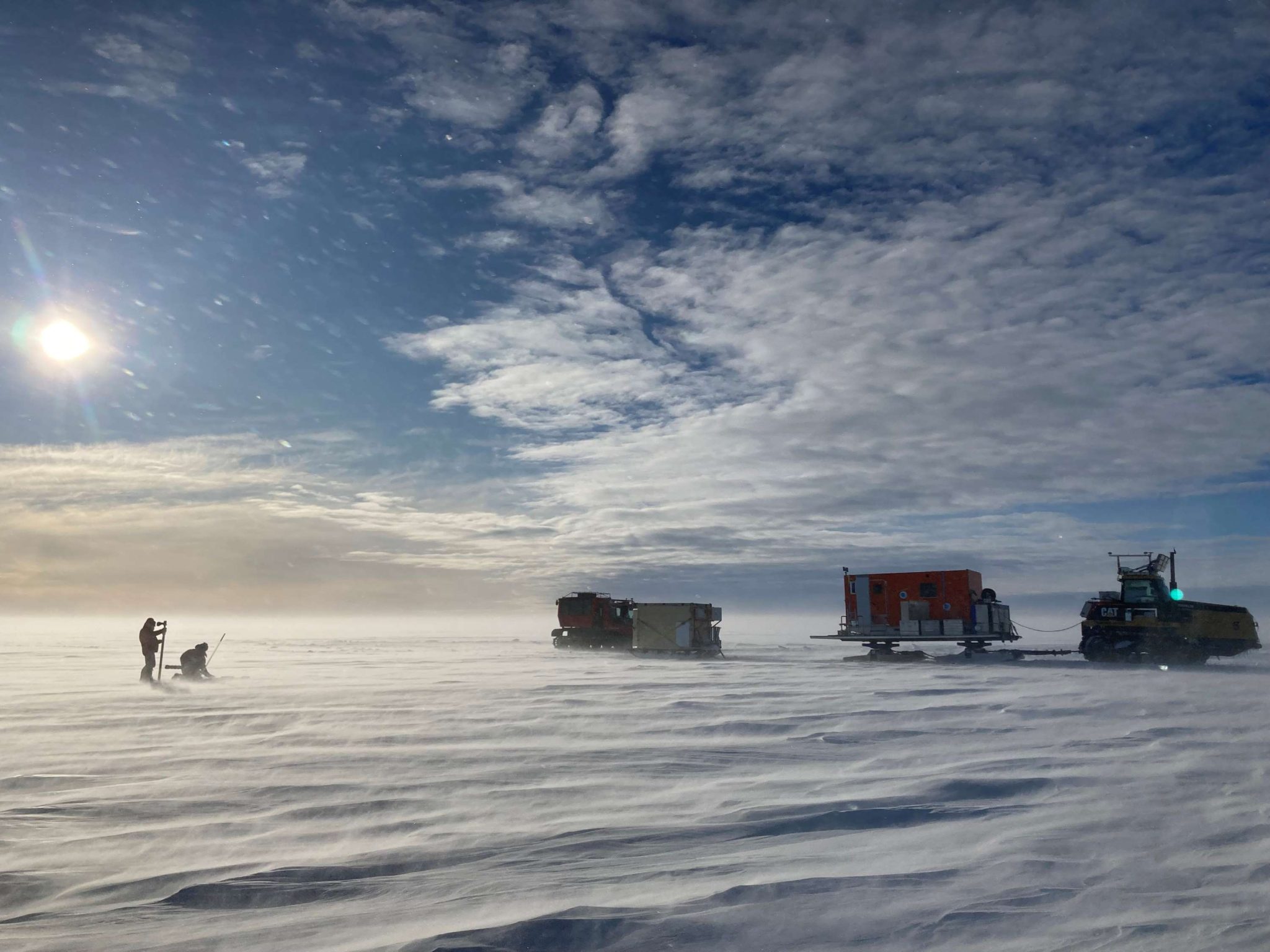
The success of St3TART-FO has been underpinned by the development of cutting-edge measurement stations and sophisticated methods of data collection. In land ice monitoring, the project team introduced an innovative fixed station structure equipped with advanced sensors including SnowVue, GNSS, and LiDAR systems—ensuring continuous, high-quality data acquisition even in extreme cold or polar conditions.
Installation of the test station at the Col du Lautaret in the Alps. a) Installation of the mounting masts, b) and c) masts with sensors, d) datalogger box
For inland water and sea ice, state-of-the-art measurement techniques enabled a robust validation framework for Sentinel-3 data. The inland waters systems demonstrated exceptional reliability, with data acquisition rates reaching nearly 100% throughout the rehearsal period.
The FRM Data Hub
FRM Data Hub for Sentinel-3 Hydro-Cryo Altimetry
Source: https://frm-datahub.noveltis.fr/
At the heart of St3TART-FO is the FRM Data Hub—a powerful and accessible online platform that gives users seamless access to trusted, traceable datasets. During performance testing, the hub proved fast, reliable, and compatible with four key data providers, while supporting multiple users with ease. By bringing everything together in one place, it simplifies access, promotes transparency and encourages collaboration across scientific teams working on satellite data validation.
Successes to Date
By early 2025, St3TART-FO had met several major objectives:
- Delivered validated data from 10 super and 961 opportunity sites for inland water monitoring.Verified the performance of the distributed micro-station network, confirming reliability and traceability.
- Finalised plans for airborne sea ice campaigns, scheduled for launch spring/summer 2025.
- Developed high-precision survey methods capable of measuring positions to within 5 cm —an achievement that strengthens current monitoring and supports future scalability.
- Established a standardised set of rules and guidelines for checking data quality, measuring uncertainty and tracking provenance. This framework is now adopted by other EO missions.
What’s Next
As the operational phase advances, the project is focused on:
- Expanding the FRM station network.
- Enhancing automation across the entire processing chain.
- Supporting additional satellite missions.
- Improving how FRM data is tracked and uncertainty is measured to preserve long-term data integrity.
- Launching campaigns in complex environments, such as polar regions, to extend the project’s reach and relevance.
A Lasting Impact
St3TART-FO continues to grow in reach and relevance, delivering meaningful and sustained impact in Earth observation science. The project represents a significant advancement in the field. By providing accessible, standardised, and traceable validation data, it directly supports critical research in climate change, oceanography, and environmental monitoring.
St3TART-FO’s evolving infrastructure and rigorous approach to validation have established a benchmark for future EO projects. With plans for expanded coverage and enhanced capabilities, the project continues to grow in scale and impact. Its ongoing success affirms the Copernicus Programme’s commitment to delivering high-quality, user-driven, and scientifically robust data services.
The success of the project demonstrates how innovative thinking, technical excellence and collaborative effort can create meaningful solutions that advance our understanding of Earth’s systems. As global environmental challenges intensify, the need for accurate, validated satellite observations becomes ever more pressing. St3TART-FO stands as a testament to what can be achieved when expertise meets purpose.
About the Copernicus Sentinels
The Copernicus Sentinels are a fleet of dedicated EU-owned satellites, designed to deliver the wealth of data and imagery that are central to the European Union's Copernicus environmental programme.
The European Commission leads and coordinates this programme, to improve the management of the environment, safeguarding lives every day. ESA is in charge of the space component, responsible for developing the family of Copernicus Sentinel satellites on behalf of the European Union and ensuring the flow of data for the Copernicus services, while the operations of the Copernicus Sentinels have been entrusted to ESA and EUMETSAT.
