The Copernicus Sentinel-2 and Sentinel-3 satellites were recently presented to potential data users and science experts in Belgium.
Organised by the Belgian Science Policy Office (BELSPO) in collaboration with ESA, the 'Bright Side of Remote Sensing' was held in Brussels on 25 October. This consisted of a workshop during which the Copernicus Programme, the Sentinel-2 and Sentinel-3 missions and resulting data products, were presented to users.
Open to academia, administrations and industry, the target of this workshop focused on questions like: 'Where can I get Sentinel data? What skill level is needed to use them? How good are they really? Who uses them and to what end?'
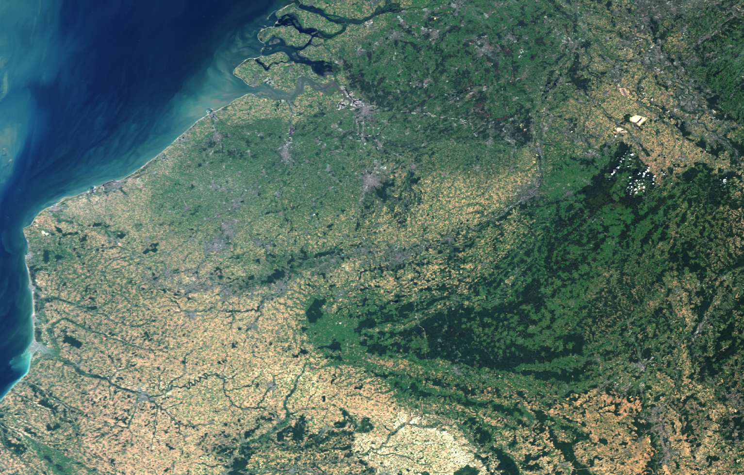
ESA's Mission Managers Bianca Hoersch and Susanne Mecklenburg highlighted the mostly optical Sentinel-2 and Sentinel-3 missions.
The event furthermore included a wide variety of presentations on the use of Sentinel-2 and -3 data from science and application experts, such as the spatio-temporal monitoring of deforestation by the Wageningen University & Research, and the use of Sentinel-2 images for potato crop monitoring in Belgium, by the Walloon Agricultural Research Centre and VITO.
From monitoring the continental ecosystems, to the Copernicus Marine Environment Monitoring Service (CMEMS), to agricultural and land monitoring, deforestation and coastal applications and more, the morning sessions dealt with the missions and data access, while the afternoon was dedicated to potential applications and uses, with live demonstrations of the Data Access Hub, held by the Copernicus Data Access Operations Manager, Véronique Amans, and by Filippo Girard, Copernicus Services Account Manager.
Over the years, ESA's Integrated Applications Promotion (IAP) programme has supported a wide variety of food and agriculture related activities, which exploit space assets in one form or another, contributing to the development of smart farming techniques.
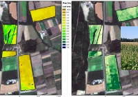
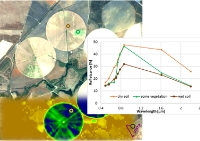
For instance, by using satellite data a field-specific crop vigour analysis can be done to derive a site characterisation. This allows an estimation of the possible economic benefits of future application of precision farming techniques. TalkingFields was one of the most successful of these activities.
Vista GmbH was the prime contractor for this project, and the Munich-based company has developed a successful business supplying precision agriculture services to farmers. Specialised in remote sensing, Vista combine optical and radar satellite imagery with geospatial information and simulation models to provide services on a local scale, which are globally available.
CEO and founder of Vista, Heike Bach, stated: "Sentinel-2 will certainly create new business opportunities. But even more importantly, it provides the backbone to establish an entire information chain from the satellite to the farmer, offering chances to produce food in a more sustainable way. The free and open access to Sentinel data, guarantees that these data can be used by everybody worldwide, whether users are from an industrialised country or a developing one. This gives equal chances to everybody to be more sustainable in agriculture."
The European Environment Agency (EEA) plays a key role in the technical coordination of certain Copernicus services, such as the Land Monitoring Service, and in coordinating in-situ observations across services. Use of the Copernicus services is an integrated part of the EEA's strategy to improve environmental information to support decision-making.
Chris Steenmans, Head of Programme ICT and Data Management, highlighted a number of concrete applications related to urban sustainable development, climate change adaptation, natural capital accounting and mapping of ecosystem services. The next major assessment on the state and outlook of Europe's environment, planned for 2020, will make extensive use of Sentinel-2 and -3 data.
Even though Sentinel-3 only completed its initial testing phase in orbit (commissioning phase) in July 2016, users have already started to look at the mission's first data. Sample data products for expert users, mainly ones from the Sentinel-3 validation team, were available as early as May 2016, only 3 months after launch.
On 20 October the first official core data release took place for the OLCI instrument Level 1 data. Given that Sentinel-3's three instruments cover a wider range of applications over land and ocean, the contributions at the workshop covered a great deal. Roselyne Lacaze from Hygeos summarised the challenges in using Sentinel-3 data for applications over land: "We are looking forward to vegetation-related products based on Sentinel-3. We expect that these products will contribute significantly to the continuity of the monitoring of the global land ecosystem."
Antonio Reppucci from Mercator Ocean spoke about the integration of Sentinel-3 data into the operational systems of the CMEMS. He explained: "Sentinel-3 is rather unique in the combination of the ocean-relevant data it provides, from a single satellite carrying three different instruments, ranging from sea-surface temperature and ocean colour to sea-surface height, to name but a few." He added: "The synergistic use of all this data is an important feature of Sentinel-3 and corresponds to the variety of applications covered by CMEMS."
Underlining this assessment, Hélöise Lavigne of the Royal Belgian Institute of Natural Sciences presented applications based on Sentinel-2 and -3 over coastal areas.
At the end of the workshop Joost Vandenabeele, BELSPO's Programme Manager of Belgian remote sensing research programmes, stated: "During our many contacts with the Belgian remote sensing community, we were surprised to discover that there is still lots of unfamiliarity regarding the Copernicus Programme and Sentinel data. People are really eager for more information. We hope that this workshop has helped in this respect, and that it will contribute to increase the grasp of Sentinel-2 and -3."
About the Sentinels
The Sentinels are a fleet of dedicated EU-owned satellites, designed to deliver the wealth of data and imagery that are central to Europe's Copernicus environmental programme. In partnership with EU Member States, the European Commission leads and coordinates this programme, to improve the management of the environment, safeguarding lives every day. ESA is in charge of the space component, responsible for developing the family of Copernicus Sentinel satellites and ensuring the flow of data for the Copernicus services, while the operations of the Sentinels have been entrusted to ESA and EUMETSAT.


