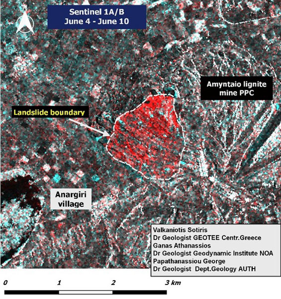
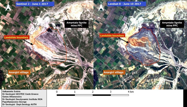
Identifying landslides rapidly and precisely enables a better understanding of landslide triggering conditions. The Copernicus Sentinel-1 and -2 missions can be used to provide such information in a timely fashion, and this can help improve maps that show which areas are susceptible to landslides, therefore contributing to risk management.
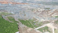
On 10 June 2017, a massive landslide occurred in a lignite pit in Amyntaio, Greece. It buried 80 million tons of lignite, worth some 200 million Euros, causing the permanent evacuation of Anargyroi, a nearby village.
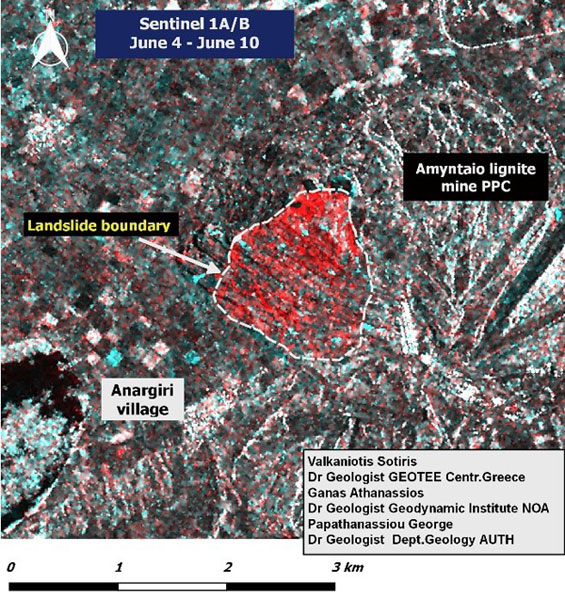
A group of Greek scientists processed and analysed Sentinel-1 and Sentinel-2 acquisitions to characterise the landslide area. Examples of the results are presented here.


