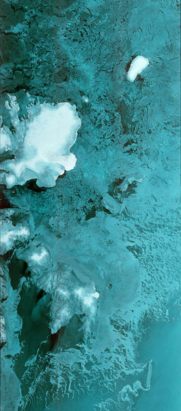
Title: Sentinel-1B's first image
Copyright: Contains modified Copernicus Sentinel data [2016], processed by ESA
Description:
Sentinel-1B's first data strip stretches 600 km from 80°N degrees through the Barents Sea. The image, which shows the Norwegian Svalbard archipelago on the left, was captured on 28 April 2016 at 05:37 GMT (07:37 CEST) – in less than three days after lift-off. Sentinel-1B lifted off on a Soyuz rocket from Europe's Spaceport in French Guiana on 25 April at 21:02 GMT (23:02 CEST). It joins its twin, Sentinel-1A, to provide more ‘radar vision' for Europe's environmental Copernicus programme.
