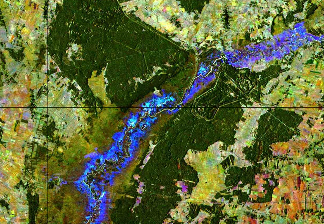
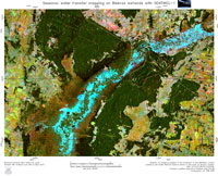
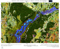
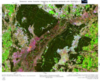
Poland's Biebrza National Park, protected by the Wetlands Convention, experiences certain disturbances in its water levels and water transfer, which could threaten its biodiversity.
Wetlands, as defined by the Ramsar Convention, include all lakes and rivers, swamps and marshes, wet grasslands, peat lands, oases, estuaries, deltas and tidal flats, mangroves and other coastal areas, coral reefs, and all human-made sites such as fish ponds, rice paddies, reservoirs and salt pans, among others.
While long regarded as wastelands, wetlands are now considered hugely fruitful ecosystems that contribute essential beneficial services to society. Providing water entry for agricultural and domestic purposes, wetlands enable farmers to grow crops in all seasons, thus increasing food availability. They supply grazing and watering for domestic and wild animals, and are a habitat for diverse flora and fauna, serving as a lifeline for migratory birds.
Since wetlands purify and replenish water, and are crucial for hydrological and climate regulation, humankind relies on them.
Situated in northeast Poland-one of the biggest complex of marshes in Europe-the Biebrza National Park covers an area of some 600 sq km. It hosts a unique variety of plants and rare wetland birds and mammals, such as elks and beavers.
Long-term lack of rainfall caused by global climate change, as well as the building of drainage channels a few decades ago, caused a problem of connectivity between floodplain waterbodies and river channels. This disturbance of the flow regime influences water exchange dynamics and water quality parameters, which in turn modifies the habitat's conditions, causing biodiversity of fauna and flora degradation, as well as a deterioration of the ecosystem services provided by the Biebrza wetlands.
As a consequence, in some areas of the park water stagnation on the floodplains may interfere with fish spawning or birds nesting, causing significant changes in its wildlife population. Therefore, it is fundamental to monitor not only the levels of these waters, but also their transfer and dynamics.
In-situ measurements of the water level complementing remote sensing observations are performed, using a network of automatic divers. However, it is thanks to the Copernicus Sentinel-1 satellites, together with data from the TerraSAR-X mission, that the dynamics of water transfer are monitored.
Dr Marek Mroz, Professor of the University of Warmia and Mazury in Olsztyn, Poland (and Project Coordinator) says, "The main features of the Sentinel-1 satellite can be expressed by the acronym 'SOAR': Stability, Open Access and Reliability."
The Sentinel-1 mission gives unprecedented coverage and continuity of data, which is extremely important for monitoring water transfer dynamics and helping experts to evaluate its influence on the fauna and flora.
ESA's research fellow, Magdalena Fitrzyk, one of the project's scientists in charge of data processing, says, "The advantage of the Copernicus Sentinel-1 constellation is its frequent revisit time, which is just six days. This high-temporal resolution combined with the mission's interferometric wide swath mode and all-weather acquisition capability, give us an excellent tool for mapping and monitoring water transfer on a large scale - not easily attained by direct measurements."
Professor Mroz adds, "Another advantage that has been exploited in our approach, is the polarimetric analysis of complex dual-polarization VV/VH backscattered signal, permitting to extract partially-flooded vegetation."
With optical data, like those of Sentinel-2, areas where vegetation is totally flooded can be shown, while with Sentinel-1's radar data one can also track the presence of partially submerged vegetation.
Dr Fitrzyk adds, "This offers a full picture of the flow regime on wetlands and can serve experts in advanced eco-hydrological analyses".
This project, which uses remote sensing techniques for the assessment of eco-hydrological features of lowland river floodplains is funded by the Polish National Science Centre. The results achieved with Sentinel-1 were also communicated in annual reports to the technical department of Biebrza National Park.
About the Sentinels
The Sentinels are a fleet of dedicated EU-owned satellites, designed to deliver the wealth of data and imagery that are central to Europe's Copernicus environmental programme.
In partnership with EU Member States, the European Commission leads and coordinates this programme, to improve the management of the environment, safeguarding lives every day. ESA is in charge of the space component, responsible for developing the family of Copernicus Sentinel satellites and ensuring the flow of data for the Copernicus services, while the operations of the Sentinels have been entrusted to ESA and EUMETSAT.


