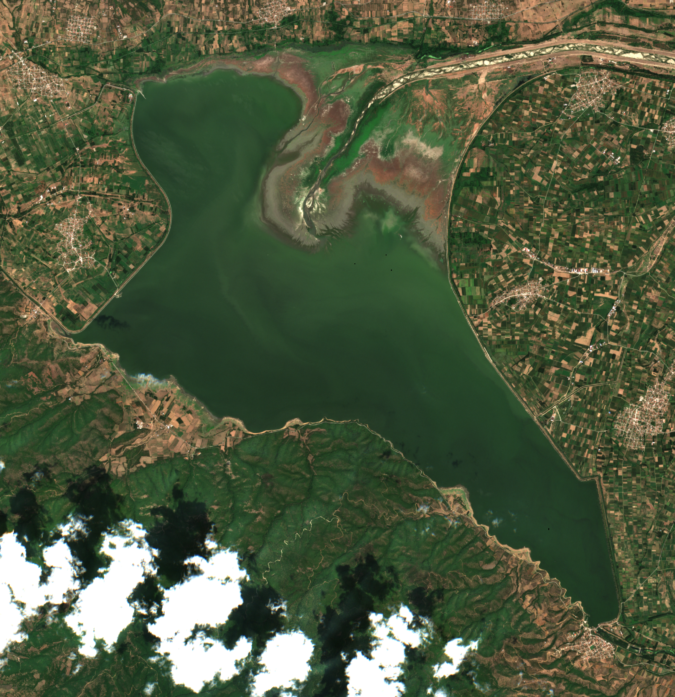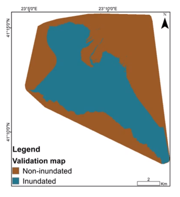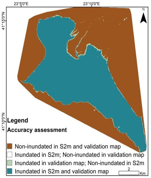


Title: Kerkini Lake and inundation estimation maps
Description: From left to right I) True Colour Image of Kerkini lake ii) Validation map iii) Visualisation of the accuracy of estimation (by Copernicus Sentinel-2 data : S2m) when compared with ground truth (validation map)
Copyright: Contains modified Copernicus Sentinel data (2019)/processed by CERTH