
Title: Inundation maps of Kerkini Lake
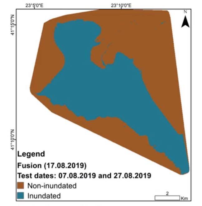
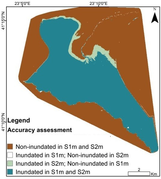
Description: Left) Inundation map created solely from Copernicus Sentinel-1 data on 17 August 2019; based on the classifiers derived through the training procedure on both Sentinel-2 and -1 data from roughly 10 acquisition days apart, Right) Visualisation of the accuracy of estimation (by Sentinel-1 data : S1m) compared with ground truth (as derived by credible workflow on Sentinel-2 data: S2m).
Copyright: Contains modified Copernicus Sentinel data (2019)/processed by CERTH