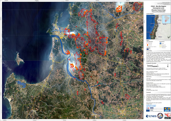
Title: Disaster extent map
Description:
In this Sentinel-2 image acquired on 29 January 2017, burnt areas and active fires of the Bio-Bio Concepcion area in Chile, are clearly visible.
Copyright: Contains modified Copernicus Sentinel data (2017), produced by SERTIT
