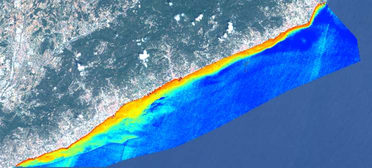
Title: Seabed terrain model
Description: A seabed terrain model of Tordera, Spain, derived from Copernicus Sentinel-2 imagery showing the various depths of water and seabed features. These can be used to assess whether there is a migration or movement of sediment, causing erosion or accretion and better help the modelling of such movement.
Copyright: Contains modified Copernicus Sentinel data (2015)/processed by ARGANS Ltd
