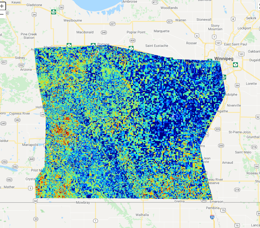
Title: LEAF vegetation map
Description: A map vegetation generated using Earth observation data by the LEAF virtual toolbox, displaying crop cover in the province of Manitoba in Canada.
Copyright: Contains modified Copernicus Sentinel data (2021), processed by the Canada Centre for Remote Sensing, Government of Canada