A pioneering open-access environmental monitoring system that helps to fuel the sustainable management of the natural world has launched.
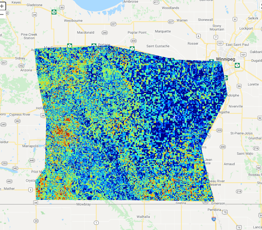
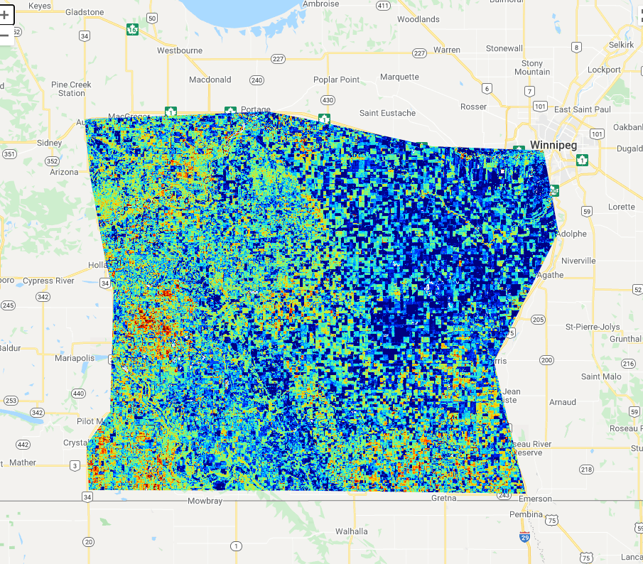
The Landscape Evolution and Forecasting Toolbox, or LEAF, transforms data delivered by the Sentinel-2 mission of the European Union’s Copernicus Programme into global maps that reveal different aspects of vegetation cover, including canopy water content, leaf area index and many more.
This information enables governments and industry to make decisions that boost prosperity while conserving natural resources for future generations to enjoy. The tool – which allows for free and open use – can support assessments of environmental changes and inform agricultural practices by delivering information such as crop growth and yield predictions.
Devised by the Canada Centre for Remote Sensing [1], LEAF is an application of Google Earth Engine, a cloud-based geospatial analysis platform that enables people to visualise and analyse satellite images of the planet. It was designed to address several challenges associated with deriving geophysical variables from Copernicus Sentinel-2 data, including the high-computing power required for data production and difficulties in applying new algorithms to datasets. To address these issues, LEAF applies deep learning models directly within Google Earth Engine.
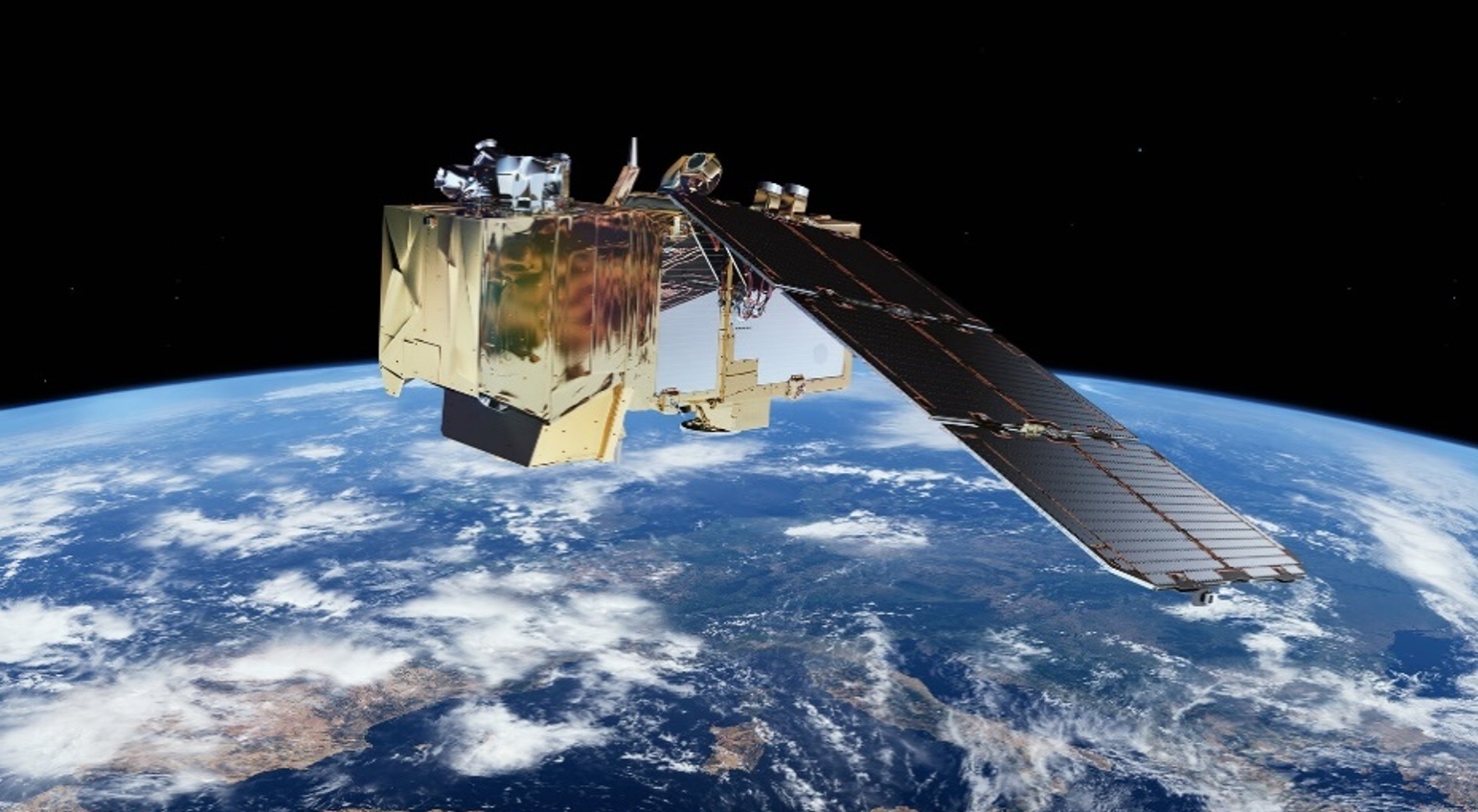
The tool originally drew on imagery delivered by the Copernicus Sentinel-2 mission – which carries a high-resolution multispectral imager – and has now been expanded to also use data generated by the US-led Landsat missions.
LEAF relies on the North American Land Cover Monitoring System and the Copernicus Global Land Cover products to identify vegetated areas. The platform also encourages contributions from the international modelling community by providing the capability to integrate deep network algorithms supplied by users. Released on 1 January this year, LEAF’s outputs have been validated in collaboration with scientists at the Ground Based Observations for Validation and the US National Ecological Observatory Network [2]. In addition, the Canada Centre for Remote Sensing is currently working with Google to include active learning algorithms within LEAF that will enable users to refine its products [3].
Environmental scientists are currently working to integrate the platform into several areas of the Canadian economy. Its outputs are being used to inform monthly vegetation products distributed by the Canadian Federal Geospatial Platform. This information helps to generate regional hydrological and permafrost models across Canada. In addition, LEAF is being incorporated into Agriculture and Agrifood Canada’s crop condition monitoring system and Canada’s Province of Alberta Mine Site Reclamation observing platform.
The software is openly distributed under a Canadian Open Government License and its outputs are freely available with acknowledgement of the use of Copernicus Sentinel-2 imagery.
Richard Fernandes, Research Scientist at the Canada Centre for Remote Sensing, said: “The wealth of information collected by the Copernicus Sentinels and contributing missions has huge potential to support sustainable environmental management. By transforming Earth observation data into open-access information on vegetation status and trends, LEAF can support governments and industry in the development of strategies that promote economic productivity while protecting the planet.”
The LEAF toolbox is one of several activities that aim to facilitate access to Copernicus data.
In 2018, the European Commission announced that it is funding the development of five cloud-based platforms that provide centralised access to Copernicus data and information, as well as to processing tools. These platforms are known as the DIAS, or Data and Information Access Service.
WEkEO, for example, is the DIAS service for environmental data, virtual environments for data processing and skilled user support. WEkEO is implemented by EUMETSAT, ECMWF, EEA, and Mercator Ocean.
About the Copernicus Sentinels
The Copernicus Sentinels are a fleet of dedicated EU-owned satellites, designed to deliver the wealth of data and imagery that are central to the European Union's Copernicus environmental programme.
The European Commission leads and coordinates this programme, to improve the management of the environment, safeguarding lives every day. ESA is in charge of the space component, responsible for developing the family of Copernicus Sentinel satellites on behalf of the European Union and ensuring the flow of data for the Copernicus services, while the operations of the Copernicus Sentinels have been entrusted to ESA and EUMETSAT.
Did you know that?
Earth observation data from the Copernicus Sentinel satellites are fed into the Copernicus Services. First launched in 2012 with the Land Monitoring and Emergency Management services, these services provide free and open support, in six different thematic areas.
The Copernicus Land Monitoring Service (CLMS) provides geographical information on land cover and its changes, land use, vegetation state, water cycle and Earth's surface energy variables to a broad range of users in Europe and across the World, in the field of environmental terrestrial applications.It supports applications in a variety of domains such as spatial and urban planning, forest management, water management, agriculture and food security, nature conservation and restoration, rural development, ecosystem accounting and mitigation/adaptation to climate change.
References
[1] LEAF-Toolbox Project, 2020, "LEAF Toolbox". Canada Centre for Remote Sensing, DOI: 10.5281/zenodo.4321298.
[2] L. Brown et al, 2021. Validation of baseline and modified Sentinel-2 Level 2 Prototype Processor leaf area index retrievals over the United States. ISPRS Journal of Photogrammetry and Remote Sensing, 175, 71-87.
[3] N. Djamai, R. Fernandes, 2021. Active learning regularization increases clear sky retrieval rates for vegetation biophysical variables using Sentinel-2 data. Remote Sensing of Environment, 254, 112241.


