Title: WorldCover Imaging for Land-Use Planning
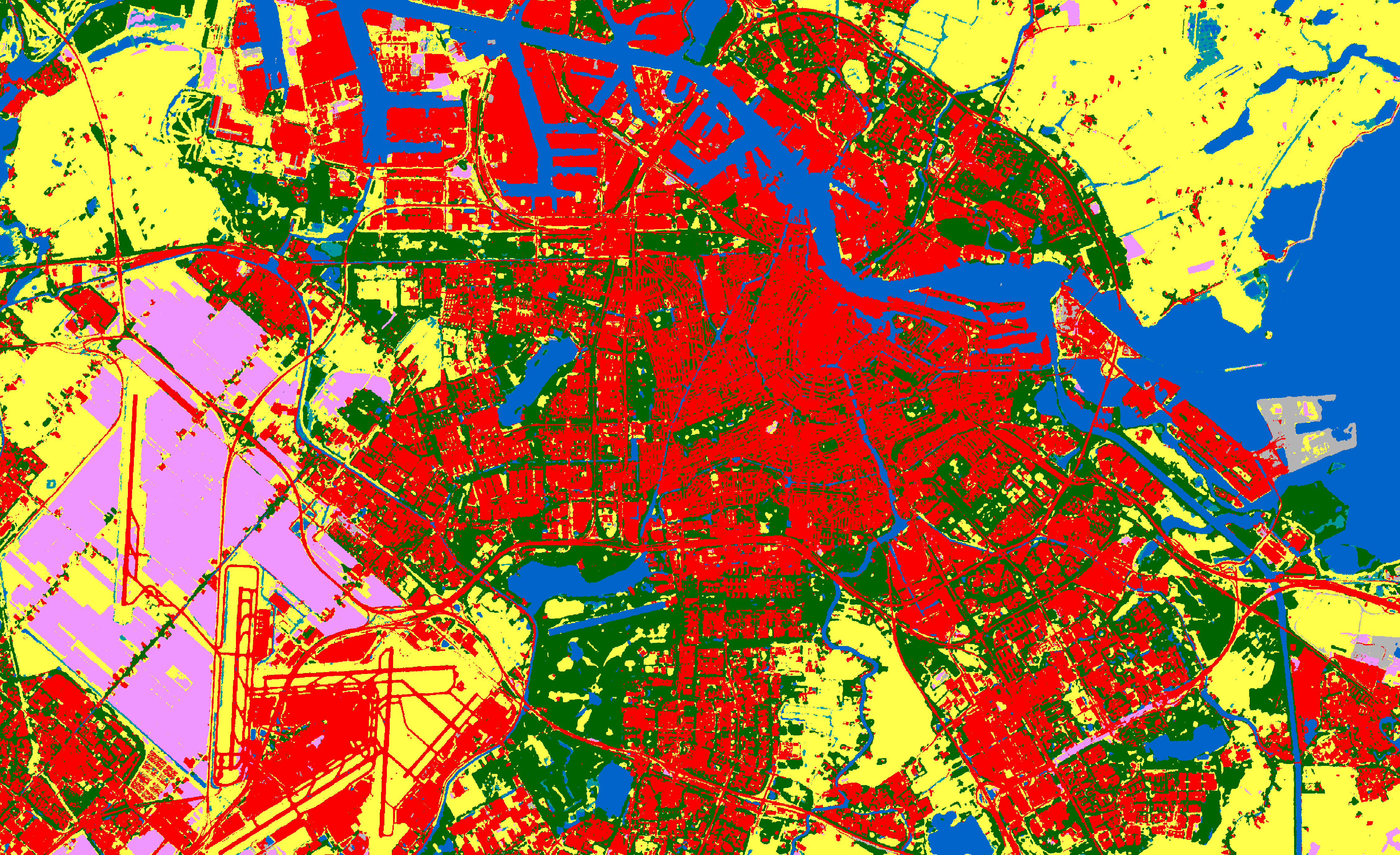
Description: Land-use planning is facilitated with land imaging maps using ESA WorldCover, such as this one of Amsterdam in the Netherlands. Urban land cover shows a good distribution of tree cover (dark green colour) inside the city built-up area, which is not the case around the harbour area. Meanwhile a large part of the land around the airport is use for agriculture and therefore classified as cropland.
Copyright: ESA