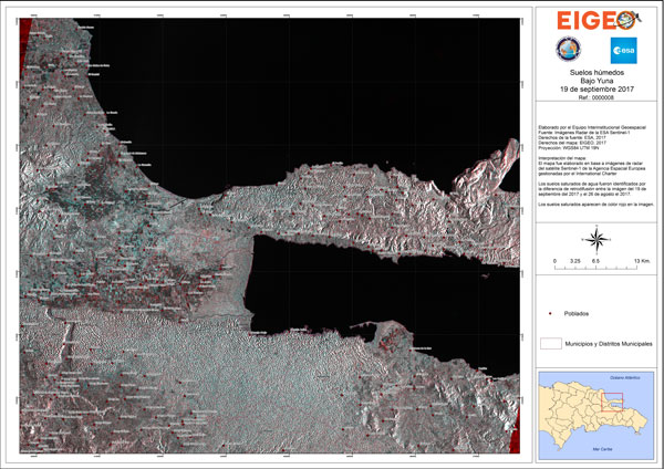
Title: Ground saturation in Bajo Yuna
Description:
This map was produced using images from the Sentinel-1 satellite, acquired on 26 August and 19 September 2017. It shows the ground saturation water level based on images acquired before and after the hurricane. The saturated grounds appear in red.
Copyright: Contains modified Copernicus Sentinel data (2017), produced by EIGEO
