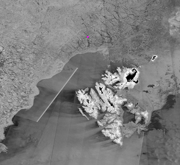
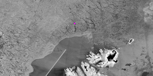
While two explorers were having problems cruising the ice across the North Pole on skies, due to bad weather and complications with equipment, the Copernicus Sentinel-1 satellites lent a hand to guide rescuers through the maze of ice and water to save the day.
Norwegian Borge Ousland and Swiss Mike Horn had been skiing across the North Pole for the past 3 months, planning to reach the ice edge north of Svalbard. Problems with equipment and weather put them in a tough position, and they were running out of supplies.
They covered about 1,800 km (1,120 miles) on dangerous drifting ice, in total darkness, facing many obstacles, including fluctuating temperatures—from -40C to +2C (35F), a sign of climate change—according to Horn.
Sometimes when they were camping at night, the drifting ice pushed them backwards, enhancing the distance they had to cover. Thinner polar ice than normal also added to the risks, further slowing them down.
The ice was so bad with huge leads and "screws" that rescuers were stuck and could not get the ship to the explorers. Two people from the rescue team left the research vessel Lance to ski toward the explorers with supplies and support, to get them to the Lance and back home.
Due to the fast changing and difficult ice conditions, the Norwegian Meteorological Institute (MET-Norway) fed the explorers with waypoints throughout the expedition. Updated analysis of Copernicus Sentinel-1 data were used to guide them through the labyrinth of ice and water in the 24-hour polar darkness one is faced with this time of year. Copernicus Sentinel-1 data were also used to guide the Lance into the sea ice, to retrieve the explorers.
Frode Dinessen, Project Manager at the Division for Remote Sensing and Data Management of MET-Norway, states, "The operational ice service at MET-Norway is on a daily basis monitoring the sea ice and providing updated sea ice information to Arctic mariners. Copernicus Sentinel-1 data are the main source of information used for this work, due to their ability to provide data in all-weather, day or night conditions at a high spatial resolution and with a high coverage frequency."
About the Copernicus Sentinels
The Copernicus Sentinels are a fleet of dedicated EU-owned satellites, designed to deliver the wealth of data and imagery that are central to the European Union's Copernicus environmental programme.
The European Commission leads and coordinates this programme, to improve the management of the environment, safeguarding lives every day. ESA is in charge of the space component, responsible for developing the family of Copernicus Sentinel satellites on behalf of the European Union and ensuring the flow of data for the Copernicus services, while the operations of the Copernicus Sentinels have been entrusted to ESA and EUMETSAT.


