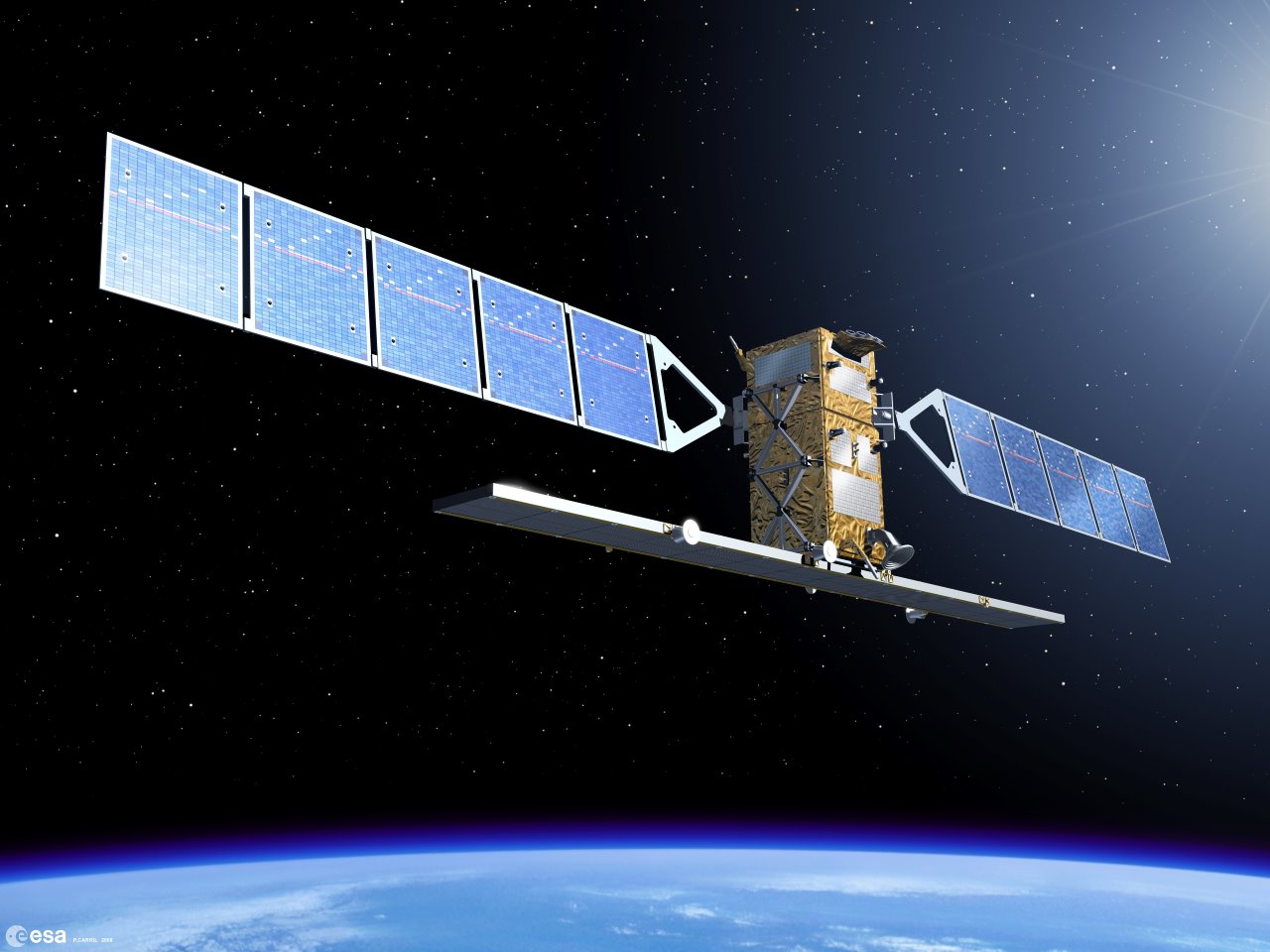
Remote sensing and satellite imagery have become common use in monitoring and modelling of various biological and physical characteristics of Earth - now Copernicus Sentinel-1 is giving a new approach for monitoring the evolution of shorelines.
A shoreline is the junction between water and land, which can range from rocky shores to long, flat, sandy beaches. The monitoring of coastal environments and the tracking of their evolution provide fundamental information to policy and decision-makers on local, regional, national and intra-national levels.
The examination of shoreline trends is widely used in both coastal and flood risk management and represents a major factor when accounting for or assessing beach health. Coastal maps and beach surveys are common data sources used to monitor coastal areas, along with aerial photographs, remote sensing techniques and video imaging systems.
In this context, remote sensing provides a repetitive and consistent view of Earth, useful in monitoring short and long term changes of coastal areas and specifically of shoreline position. Furthermore, the global nature of such data allow for effective and timely monitoring of hard-to-reach and large extent areas.
Deltares is an independent Dutch institute for applied research in the field of water and subsurface, with five areas of expertise. They have created a new automatic method to retrieve the shoreline, based on land-water separation—its simplicity is related to the use of only one threshold value in defining the contour of the detected edge.
Using Synthetic Aperture Radar (SAR) images, like those of Sentinel-1 of the European Union's Copernicus Programme, they applied this method to a beach in Southern Italy, facing the Mediterranean Sea.
The Copernicus Sentinel-1 mission carries a C-band SAR instrument, capable of collecting data regardless of weather or light conditions, in four different modes.
The proposed method for shoreline detection, used by Deltares' researchers on the Torre Canne Apulian beach is based on Copernicus Sentinel-1 Ground Range Detected (GRD) products, where data have been detected, multi-looked and projected to ground range using an Earth ellipsoid model, in particular on High Resolution data in Interferometric Wide-Swath mode.
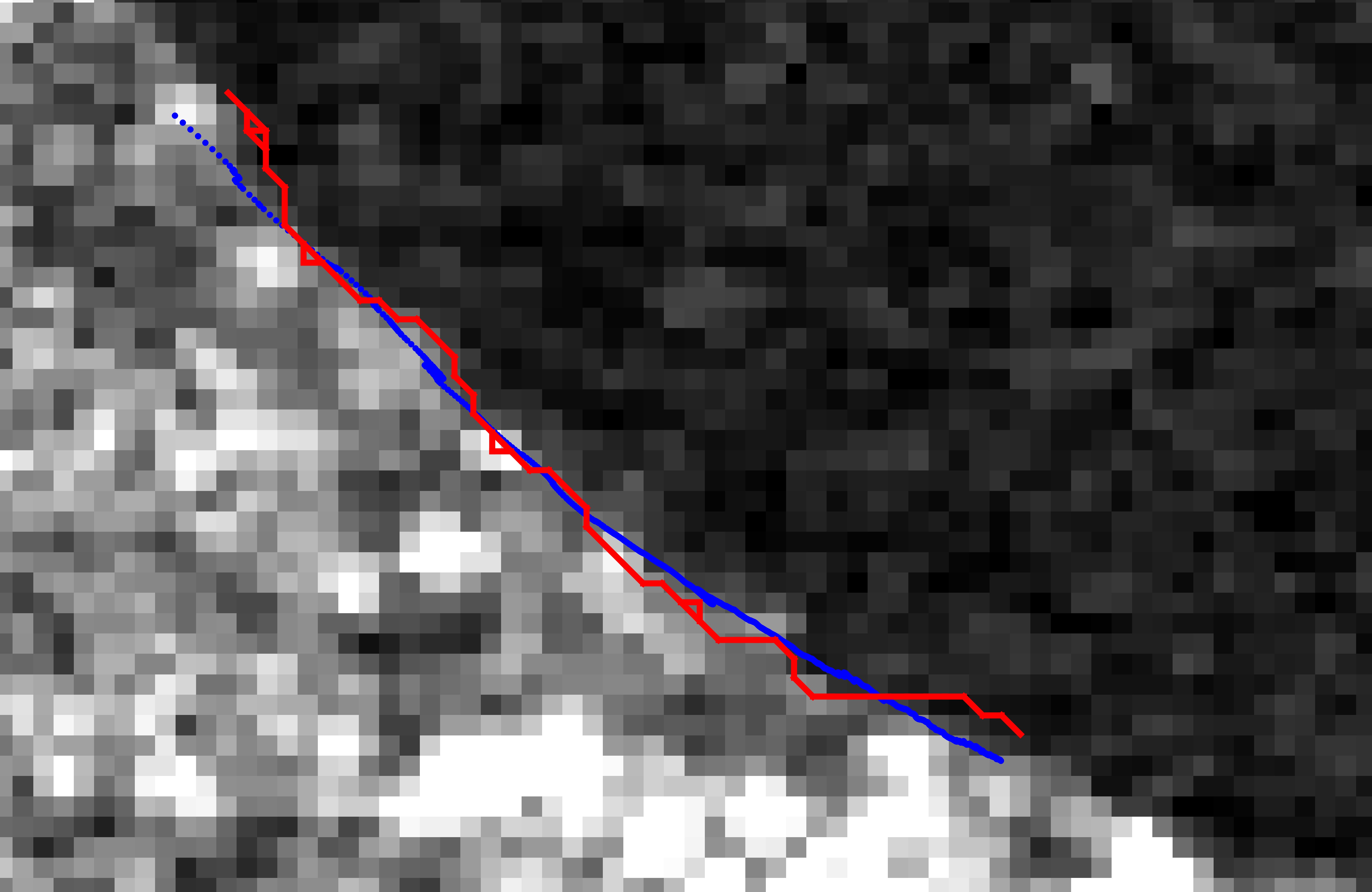
The Torre Canne shoreline, derived from data of the Copernicus Sentinel-1 satellite, was compared to those generated using video imaging systems and was able to reproduce the shoreline, accounting for the resolution limitation of the satellite information. Local monitoring has shown the beach faced an erosive trend over the past decades, attributed to a combination of sea-level rise, significant storms and an increased urbanisation rate, all crucial in the negative sedimentary balance of the area.
Satellite data can be used to aid in the monitoring of similar beaches within the region, which do not currently have the benefit of video monitoring systems to track changes.
The method is also applied to a chain of barrier islands known as the Wadden islands, which protect the Wadden Sea—an area of great ecological importance consisting of intertidal mudflats and flood-tidal channels, from the erosive forces of North Sea storms. Real-time monitoring of the evolution of these shorelines can provide key information about regions undergoing rapid erosion and aid in detecting regions requiring nourishment.
Copernicus Sentinel-1 provides useful data in such a region, however, additional correlation of the tidal cycle to the image acquisition is required as the wetting and drying of broad shallow beaches impacts the results from such an approach.
Engineer Alex Ziemba, researcher at Deltares, says, "Copernicus Sentinel-1 provides a wealth of data, which can be transformed into shorelines for coasts across Europe and around the globe, to track their evolution.
"Many of these coastlines do not have the resources to implement active high frequency monitoring programmes; the ability of open and free satellite data to track developments in such areas is a boon to research and management," concluded Ziemba.
About the Copernicus Sentinels
The Copernicus Sentinels are a fleet of dedicated EU-owned satellites, designed to deliver the wealth of data and imagery that are central to the European Union's Copernicus environmental programme.
The European Commission leads and coordinates this programme, to improve the management of the environment, safeguarding lives every day. ESA is in charge of the space component, responsible for developing the family of Copernicus Sentinel satellites on behalf of the European Union and ensuring the flow of data for the Copernicus services, while the operations of the Copernicus Sentinels have been entrusted to ESA and EUMETSAT.
Acknowledgements:
This article refers to the work conducted within the framework of the H2020 project ECOPOTENTIAL (Grant Agreement n. 641762) by researchers from the Deltares Institute in Delft, Netherlands. The Politecnico di Bari, Italy contributed with comparative information and support for the Torre Canne case study. Alex Ziemba, Anna Spinosa, and Marieke Eleveld contributed to this article and further results can be found in the scientific article cited below.
Spinosa, A., Ziemba, A., Saponieri, A., Navarro-Sanchez, V. D., Damiani, L., & El Serafy, G. (2018, October). Automatic Extraction of Shoreline from Satellite Images: a new approach. In 2018 IEEE International Workshop on Metrology for the Sea; Learning to Measure Sea Health Parameters (MetroSea)(pp. 33-38). IEEE. DOI: 10.1109/MetroSea.2018.8657864


