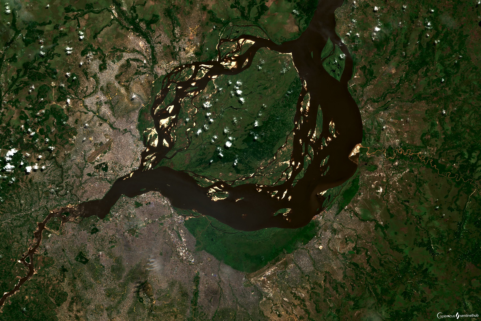
Four years ago, the Slovenian Company Sinergise Ltd triumphed at the 2016 Copernicus Masters Competition with its ground-breaking satellite image web service — the Sentinel Hub. This service revolutionises access to Earth observation satellite imagery, reducing from hours to mere seconds the time required to visualise and exploit data.
On the Sentinel Hub, satellite data like those of the European Union's Copernicus Programme, (as well as Landsat and other providers) are made easily accessible for users to browse or analyse, within their cloud GIS or within their own environment.
Users obtain satellite imagery without worrying about synchronisation issues, storage, processing, de-compression algorithms, meta-data or sensor bands.
The service uses cloud infrastructure and innovative methods to efficiently process and distribute data in a matter of seconds. It can be integrated into any mapping application for the web, allowing for easy-to-use and cost-effective ways to exploit data.
Historically, what kept people from using commercial satellite data was a combination of complexity and inefficiency of the purchase process. The process often involved countless emails, minimum order sizes, requirements to buy 95% of the data that were not needed, and even commitments of tens of thousands of EUR per year, since resellers simply did not want to bother with small orders.
The Sentinel Hub team struggled for quite some time on how to work around the difficulties people had in using commercial data. Then they were awarded an ESA-funded project to establish the "core" data cube facility service — Euro Data Cube. The project and even more so ESA's strong support, provided an opportunity to address this challenge.
The company Planet joined the consortium, making it possible to get inside knowledge about the challenges that commercial providers are facing when setting up their business models. By working with them, Sentinel Hub were able to iterate much faster in creating a model that is good for users, as well as for the data provider and their partners.
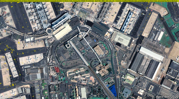
Today, the service includes Planet and their first flagship PlanetScope product, providing 3 m resolution snapshots of everywhere on the planet, updated on a daily basis, as well as Airbus with Pleiades (0.5 m resolution) and SPOT (1.5 m resolution).
Having the complete Earth observation data archive at its disposal, ranging from daily medium resolution imagery originating from Copernicus Sentinel-3 and MODIS, down to very precise - yet not as frequently revisited Pleaides- Sentinel Hub users can facilitate high-level ongoing monitoring and then drill down to the interesting points. All of this is powered by machine learning as the volume of data are simply too large for humankind to tackle.
The variety of applications for these data is endless. As an example, one can use Copernicus Sentinel data to monitor changes in land cover on a national or continental stage, then look for new building constructions using VHR data.
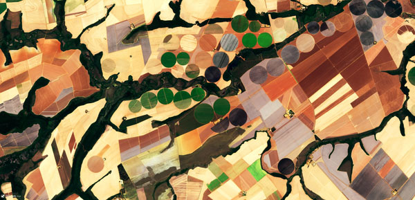
In Common Agriculture Policy, an integral part of the European Union, Copernicus Sentinels provide "wall-to-wall" coverage enabling identification of agriculture activities and crop type classification, but lack the detail required to do so for small parcels. PlanetScope proves indispensable here.
Grega Milcinski, CEO and co-founder of Sinergise, comments, "Sentinel Hub has demonstrated the value of having access to commercial open data and that users are willing to pay for this. What needs to be done next is to bring additional satellite providers onboard, some of whom do not even support API-based integration, followed by ensuring that licenses to use the data are transparent and appropriate for various uses.
"Last but not least," concluded Milcinski, "tasking of new acquisitions should be supported as well. Once we are able to tap into various datasets, both of archive and new acquisitions, we can create start-to-end automatic processes... what a powerful tool this will be!"
About the Copernicus Sentinels
The Copernicus Sentinels are a fleet of dedicated EU-owned satellites, designed to deliver the wealth of data and imagery that are central to the European Union's Copernicus environmental programme.
The European Commission leads and coordinates this programme, to improve the management of the environment, safeguarding lives every day. ESA is in charge of the space component, responsible for developing the family of Copernicus Sentinel satellites on behalf of the European Union and ensuring the flow of data for the Copernicus services, while the operations of the Copernicus Sentinels have been entrusted to ESA and EUMETSAT.


