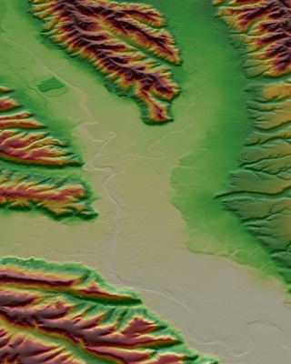
The Copernicus DEM, a digital surface model that captures terrain and infrastructure on Earth, is now accessible via the Copernicus Data Space Ecosystem.
The DEM is an element of the Copernicus Contributing Missions (CCM) activity, which is managed by ESA from its centre for Earth observation (ESRIN) on behalf of the European Commission.
The migration of the DEM forms part of a gradual relocation of CCM data to the Copernicus Data Space Ecosystem that is creating a central point of access to systematic CCM collections and observations from the Copernicus Sentinels.
This set of systematic CCM collections includes optical high resolution and VHR European and Sub-Saharan Africa coverages, urban atlas or digital elevation models at European and global scales, as well as synthetic aperture radar imagery for sea ice monitoring.
Discover more about the Copernicus DEM in this infographic:
You can keep up to date with the availability of the DEM, as well as other systematic CCM collections, via the Copernicus Data Space Ecosystem CCM collections page.
