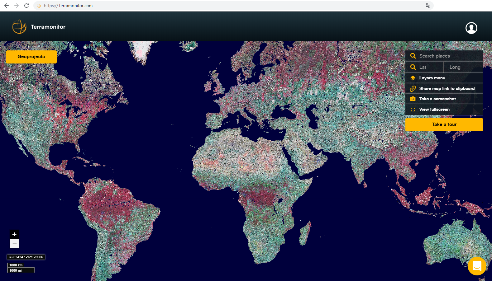
Title: Overview of Terramonitor service
Description: Global view in Terramonitor uses Copernicus Sentinel-2 data. A user can select from various layers to visualize Earth, for example, in natural colours or false colours. In the image, the selected layer is a false colour map, which enables vegetation analysis. Green vegetation is visualised as red.
Copyright: Contains modified Copernicus Sentinel data (2018)/processed by Terramonitor
