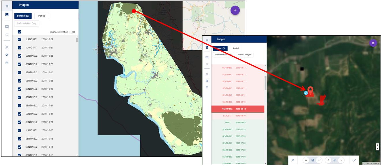
Title: Basemap of Indonesian site
Description: This Basemap of an Indonesian site was produced using Copernicus Sentinel-2, Landsat, and SPOT images, at 20m resolution. All images were used for change detection in forest classification (dark green area).
For every pixel, the list of images were used for change detection, and displayed on the left side of the control web platform (where red polygons represent changes observed during a chosen period).
Copyright: Contains modified Copernicus Sentinel data (2018)/processed by Starling