The Level-2A product provides atmospherically corrected Surface Reflectance (SR) images, derived from the associated Level-1C products. Each Level-2A product is composed of 110x110 km2 tiles in cartographic geometry (UTM/WGS84 projection). Earth is subdivided on a predefined set of tiles, defined in UTM/WGS84 projection and using a 100 km step. However, each tile has a surface of 110x110 km² in order to provide large overlap with the neighbouring.
The atmospheric correction of SENTINEL-2 images includes the correction of the scattering of air molecules (Rayleigh scattering), of the absorbing and scattering effects of atmospheric gases, in particular ozone, oxygen and water vapour and the correction of absorption and scattering due to aerosol particles.
Level-2A products are systematically generated at the ground segment over Europe since March 2018, and the production was extended to global in December 2018. Level-2A generation can also be performed:
- by the User, through the SENTINEL-2 Toolbox using as input the associated Level-1C product (demonstrated below).
- Using the Sen2Cor processor in standalone mode.
Please note that starting with 25th January 2022 (PB 04.00), to allow encoding negative surface reflectances that may occur over very dark surfaces, the dynamic range of Level-2A products is shifted by a band-dependent constant BOA_ADD_OFFSET. The value of this offset is available in the product metadata.
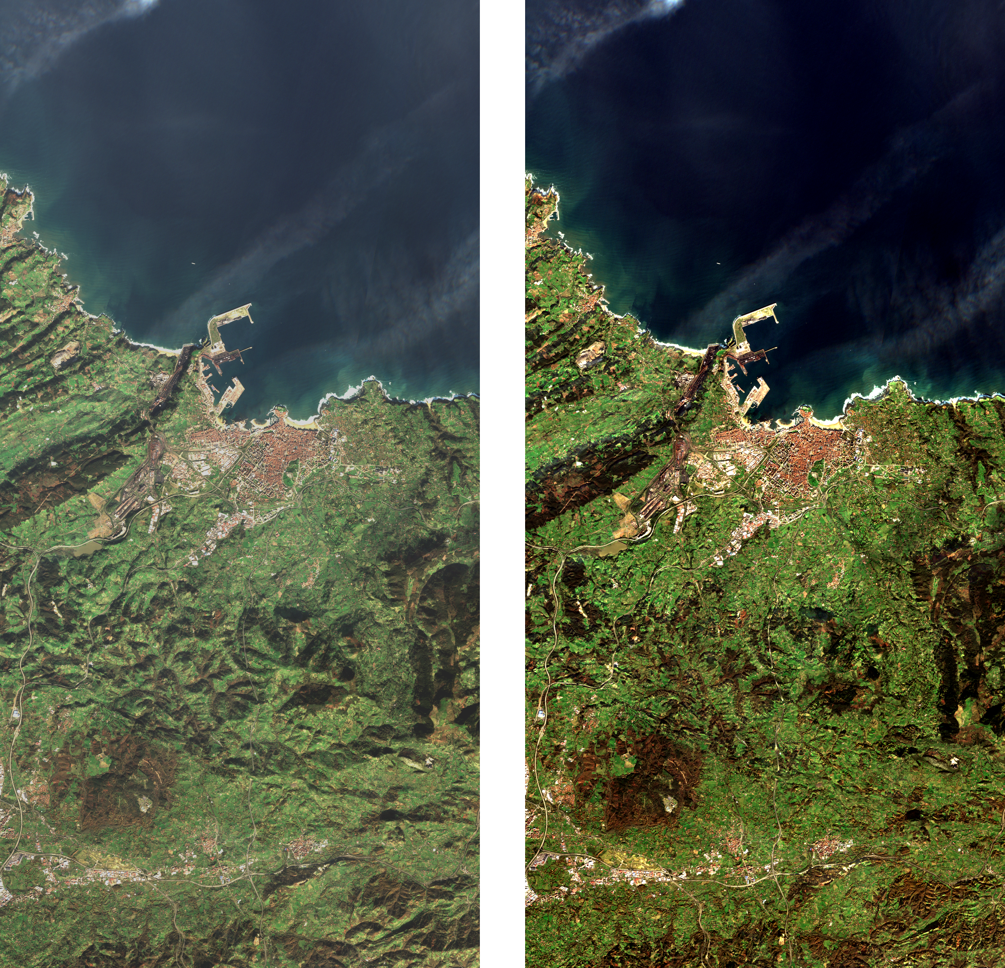
Figure 1: TOA Level-1C image data (left) and associated Level-2A surface reflectance image data (right) generated using Sen2Cor processor