The SENTINEL-2 mission provides a range of datasets to support the user in their investigations. The user-derived Level-2B products will permit generation of broad interest land cover maps and more focused mapping of particular vegetation parameters such as Fraction of Absorbed Photosynthetically Active Radiation (FAPAR), Leaf Area Index (LAI), Fractional Vegetation Cover, Leaf Chlorophyll Content (LCC) and Leaf Water Content (LWC). These parameters are supported by the Copernicus Geoland2 Mapping Services.
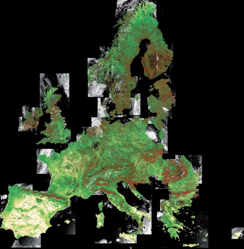
Figure 1: Map of Fraction of Absorbed Photosynthetically Active Radiation (FAPAR), July 2011, as derived from MERIS Full Resolution (FR) data. The values vary from 0 (white) to 1 (red) (image courtesy of ESA and Astrium GmbH, Germany)
The baseline for geophysical parameters is the BOA reflectance Level-2A, corrected for atmospheric, adjacency and slope effects.
Maps of the fraction of non-photosynthetically active vegetation, surface albedo, burn scars, fuel load, structural fire risk indices, crown density, forest age, flood monitoring data, land-cover change detection and snow cover maps can be developed by users from SENTINEL-2 data.