The Sea and Land Surface Temperature Radiometer (SLSTR) is a dual-view scanning temperature radiometer, which flies in low Earth orbit (800 - 830 km altitude). There are currently two instruments in orbit, on board the Sentinel-3A and Sentinel-3B satellites. Sentinel-3 is an operational mission that is part of the Copernicus programme.
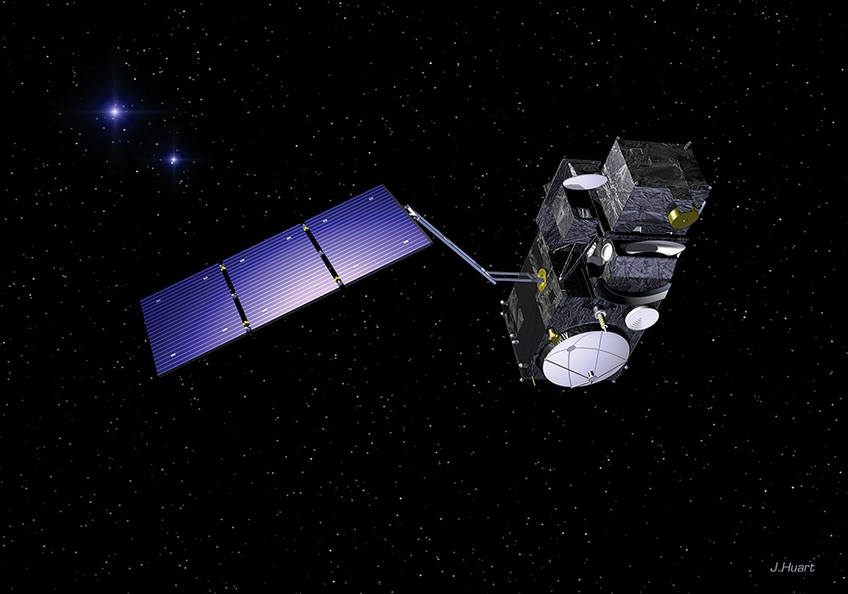
Artist's impression of Sentinel-3 satellite. The two curved baffles which form part of
the SLSTR instrument can be seen on the underside of the satellite.
The principal objective of SLSTR products is to provide global and regional Sea and Land Surface Temperature (SST, LST) to a very high level of accuracy (better than 0.3 K for SST) for both climatological and meteorological applications. There is also provision of aerosol retrieval and fire radiative power information as additional products.
To learn more about the origins of SLSTR, and how it is continuing the time line of Sea Surface Temperature measurements from the ATSR instrument series, continue to the heritage section.
For a high-level description of the sea and land surface temperature measurements made by SLSTR, go to the geophysical measurements section.