Title: Copernicus Sentinel-1 captures floods in Northeast Italy
Description:
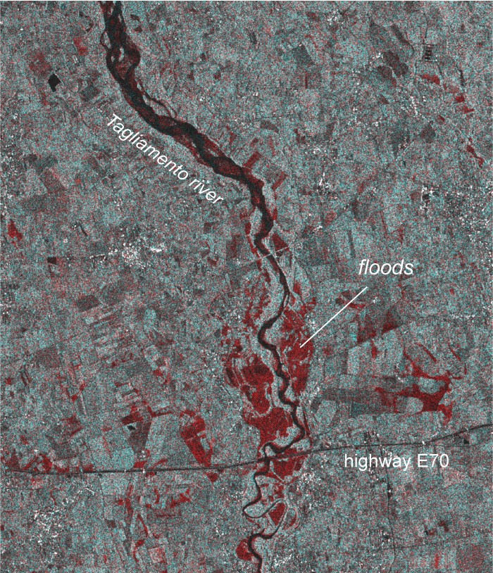
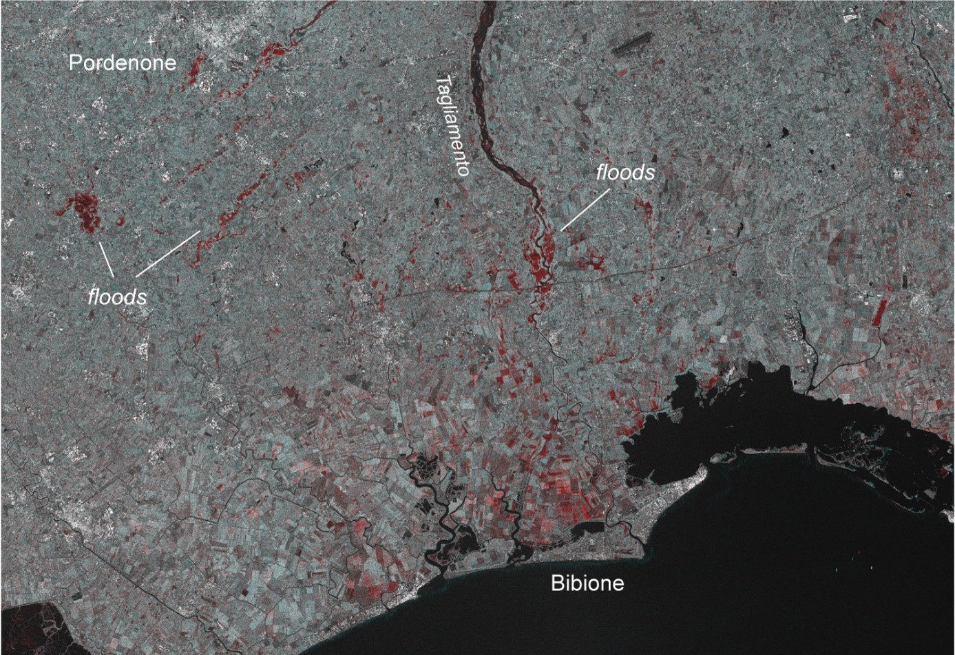
A combination of Copernicus Sentinel-1B radar images of 5 and 17 November 2019 clearly shows the flooded areas in red. Some flooded areas are along rivers and stem from exceptionally high river flow. Another type of flooding covers agricultural fields over large areas and is likely associated directly with pooling of rain water and rising ground water table.
The image below is a detail of the overview image and shows flooding where the braided Tagliamento River enters into a more constricted bed.
Copyright: Contains modified Copernicus Sentinel data (2019)/processed by the Department of Geosciences, University of Oslo