An in-situ sea ice monitoring campaign that was completed off the west coast of Greenland is set to help reinforce confidence in data delivered by Copernicus Sentinel-3. To collect the sea ice measurements, scientists used a conventional aircraft that carries observation systems, as well as new technologies, such as monitoring buoy and a drone equipped with radar and imaging instruments. The campaign – which was led by the Technical University of Denmark (DTU) – formed part of the St3TART project, an initiative led by science engineering firm NOVELTIS that facilitates the production of high-quality, robust information from the Sentinel-3 mission of the European Union’s Copernicus Programme.
An in-situ sea ice monitoring campaign that was completed off the west coast of Greenland is set to help reinforce confidence in data delivered by Copernicus Sentinel-3. To collect the sea ice measurements, scientists used a conventional aircraft that carries observation systems, as well as new technologies, such as monitoring buoy and a drone equipped with radar and imaging instruments. The campaign – which was led by the Technical University of Denmark (DTU) – formed part of the St3TART project, an initiative led by science engineering firm NOVELTIS that facilitates the production of high-quality, robust information from the Sentinel-3 mission of the European Union’s Copernicus Programme.
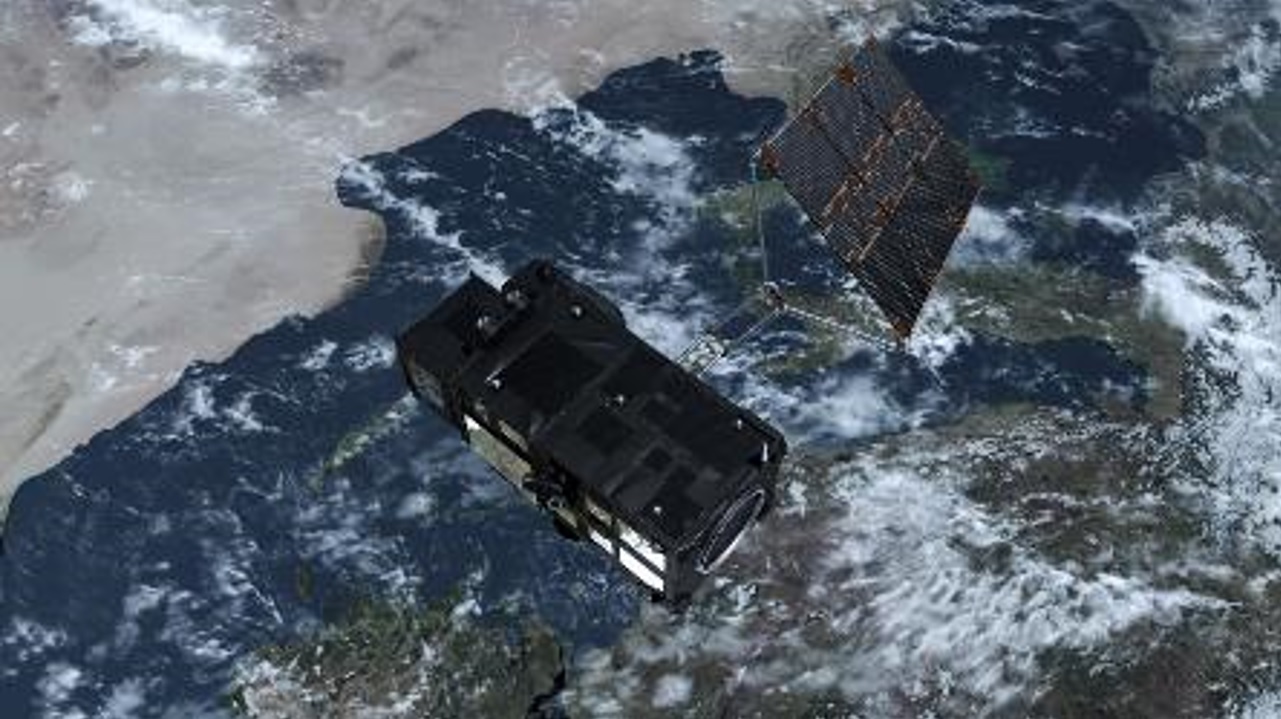
Copernicus Sentinel-3 over land and ocean
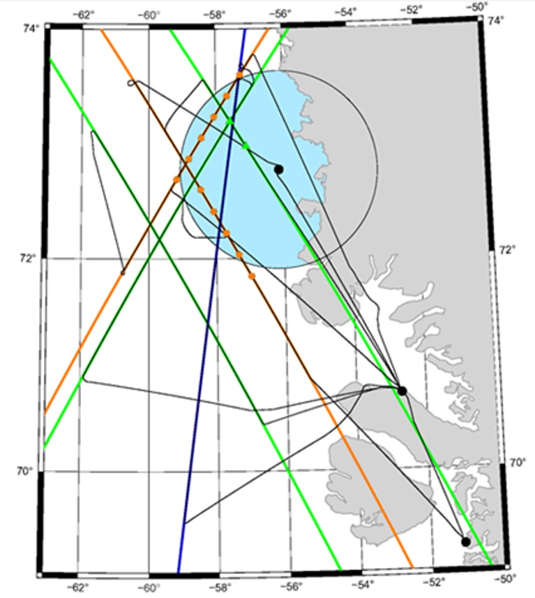
ESA St3TART sea ice campaign study area
Despite the challenges encountered, ESA’s St3TART campaign in Greenland achieved its objectives. It delivered information that will facilitate ongoing calibration and validation activities, as well as supporting decisions that will shape the future of Copernicus Sentinel-3 sea ice monitoring efforts. More information about St3TART can be found on the project website: https://sentinel3-st3tart.noveltis.fr/.


