During 2016, two Finnish friends, Joni Norppa and Lauri Häme founded the company Satellio Ltd and received funding from the Finnish government for a project to monitor forestry by utilising satellite images. Over the last few years, they became experts in handling satellite data very efficiently.
During 2016, two Finnish friends, Joni Norppa and Lauri Häme founded the company Satellio Ltd and received funding from the Finnish government for a project to monitor forestry by utilising satellite images. Over the last few years, they became experts in handling satellite data very efficiently.
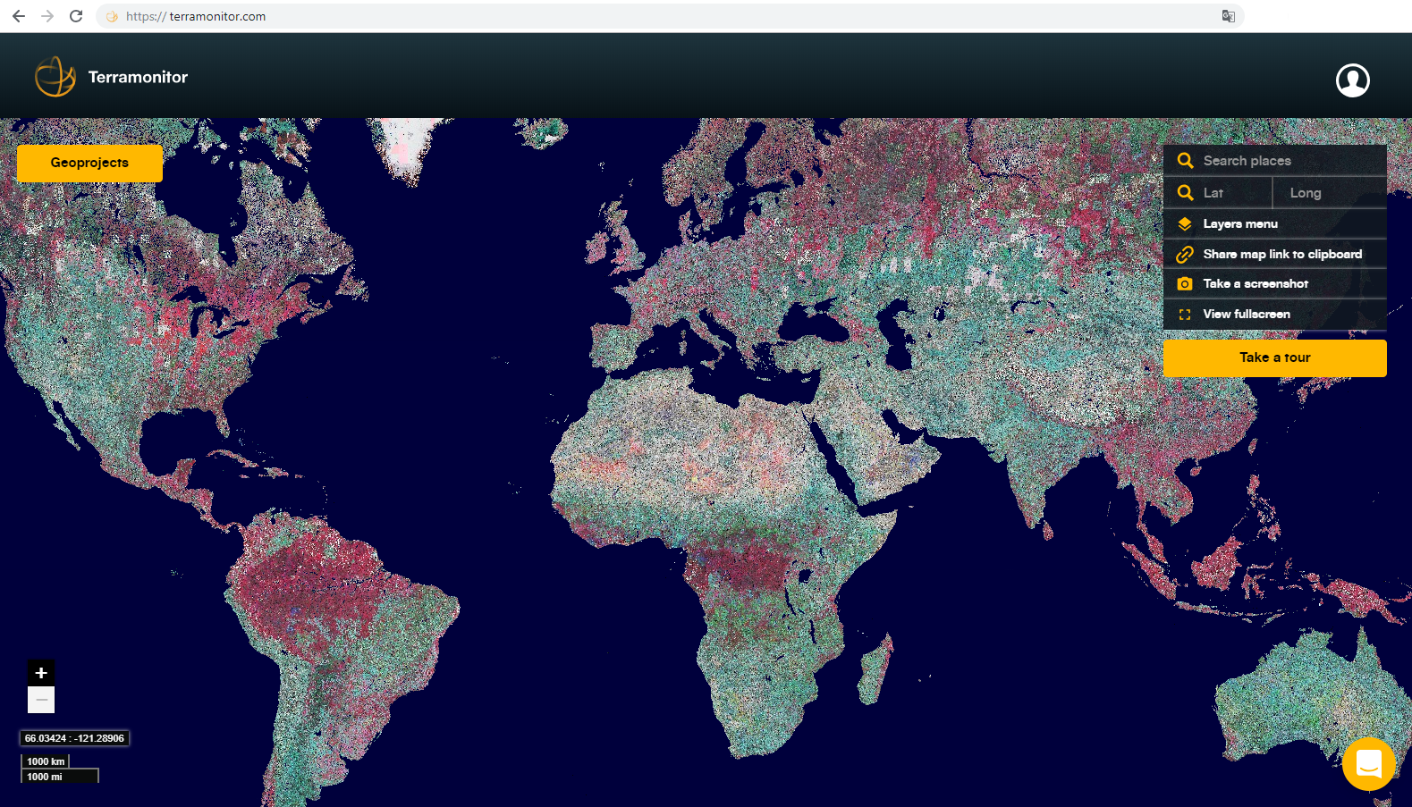
In the summer of 2018, Norppa and Häme launched Terramonitor (by Satellio), the world's first unified, up-to-date, global, enriched map service produced by artificial intelligence, with the idea of enabling space data access to all businesses. Terramonitor can be integrated into existing map services and contains over 100 million images (open and commercial), which are constantly updated and streamed.
This way they can always provide their customers an up-to-date view of the world we live in. With the service, businesses and organisations can take advantage of space data in their browser or by integrating Terramonitor into their own systems. The goal is to help companies and individuals make better decisions.
The Sentinel-2 mission of the European Union's Copernicus Programme comprises a constellation of two polar-orbiting satellites placed in the same sun-synchronous orbit, phased at 180° to each other. It aims at monitoring variability in land surface conditions, and its wide swath width (290 km) and high revisit time (10 days at the equator with one satellite, and 5 days with two satellites under cloud-free conditions, which results in 2-3 days at mid-latitudes) supports monitoring of Earth's surface changes.
The mission mainly provides information for agricultural and forestry practices and for helping manage food security, and it can also be used to map changes in land cover and to monitor the world's forests.
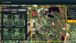
Using Copernicus Sentinel-2 satellite data, Terramonitor can manage, detect and monitor forests, always ensuring an up-to-date view of any area. It offers the ability to monitor new loggings, forest roads or other significant changes, while additional vegetation and false colour maps enable the analysis of vegetation status and its development.
Terramonitor's technology has been developed within the Finnish Government's "Logging detection" Head project, funded by the Ministry of Agriculture and Forestry. Under this project, Terramonitor has been working in a consortium together with VTT Technical Research Centre of Finland, the Natural Resources Institute Finland (LUKE), the Finnish Environment Institute (SYKE) and the Finnish Forest Centre, to develop technology for law enforcement use.
Aki Hostikka, Head of Financing and Inspections at the Finnish Forest Centre, says, "Effective law enforcement is beneficial to the entire forest industry."
Forestry is one of Finland's largest industrial sectors, with 20% of the exports coming from forests, with the Finnish Forest Centre controlling their use.
Prior to the project, monitoring was based on forest declarations and field inspections by sampling. On an annual basis, the resources for inspection were only a fraction of the actual need. Terramonitor has been a leader in developing the acquisition and processing of satellite data automatically, managing the data and their technical implementation and testing the operational service.
The developed service is based on a completely automated processing chain that downloads Copernicus Sentinel data from the open API, executes the time-series based change detection algorithm, and delivers the results to the user's geographic information system.
Joni Norppa, CEO at Terramonitor, states, "The project is a great example of concrete results from cooperation between the government with a need, a large research institute with the knowledge and a small start-up with fresh ideas."
As a result, Terramonitor has developed a law enforcement tool for the Finnish Government and Finnish Forest Centre, which can annually give 100% geographical coverage with constantly updated information of the loggings in Finland. The tool can be used to better optimise the resources and increase the efficiency of the whole forestry sector.
"We utilise Copernicus Sentinel data to make the service cost-efficient, scalable and truly updated. We use AI to handle massive satellite data sets and enrich these data with open and Big data sources to create meaningful space data," adds Lauri Häme, CTO at Terramonitor.
The positive results from the project have surprised all those involved. The project is currently in the end of its piloting phase and the Finnish Forest Centre has announced that in 2019 it will bring the technology to operational use.
This means that forest law enforcement monitoring will be based on such information, which will bring major operational, economic and socio-economic benefits.
About the Copernicus Sentinels
The Copernicus Sentinels are a fleet of dedicated EU-owned satellites, designed to deliver the wealth of data and imagery that are central to the European Union's Copernicus environmental programme.
The European Commission leads and coordinates this programme, to improve the management of the environment, safeguarding lives every day. ESA is in charge of the space component, responsible for developing the family of Copernicus Sentinel satellites on behalf of the European Union and ensuring the flow of data for the Copernicus services, while the operations of the Copernicus Sentinels have been entrusted to ESA and EUMETSAT.

